Gros Rognon, Mont Blanc
Map
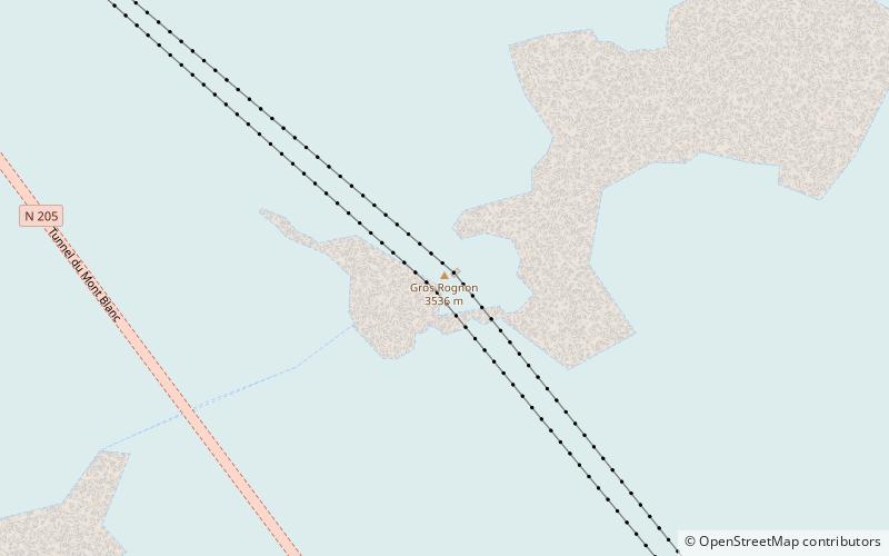
Map

Facts and practical information
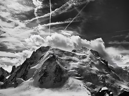
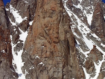
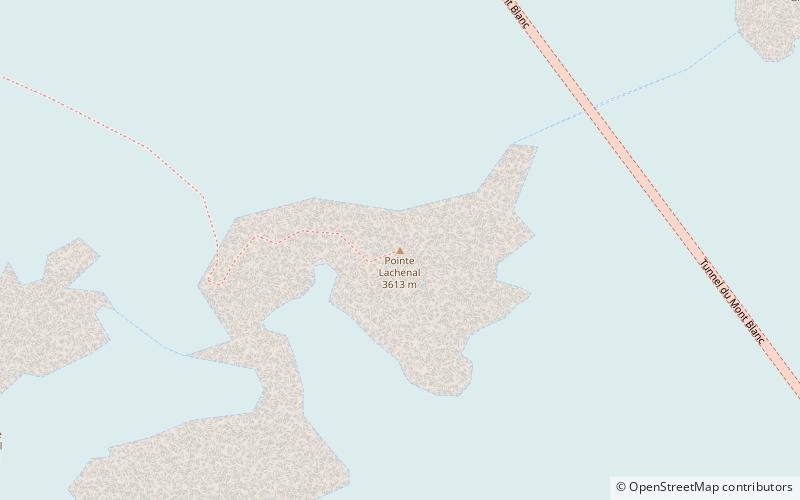
The Gros Rognon is a peak culminating at 3,541 meters above sea level, in the French department of Haute-Savoie, between the Géant glacier and the Vallée Blanche in the Mont-Blanc massif.
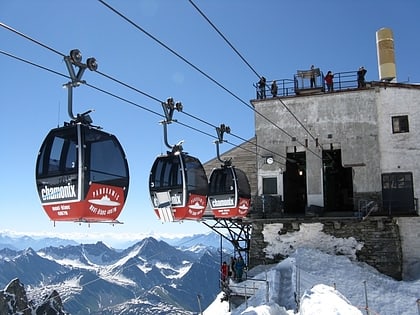
The pylon of the Panoramic Mont-Blanc gondola rests at the top.
Coordinates: 45°52'7"N, 6°54'17"E
Address
Mont Blanc
ContactAdd
Social media
Add
Day trips
Gros Rognon – popular in the area (distance from the attraction)
Nearby attractions include: Cosmiques Hut, Mont Blanc du Tacul, Vallée Blanche Cable Car, Grand Capucin.
Frequently Asked Questions (FAQ)
How to get to Gros Rognon by public transport?
The nearest stations to Gros Rognon:
Aerialway
Aerialway
- Panoramic Mont Blanc • Lines: Pmb (28 min walk)
- Aiguille du Midi 2 • Lines: Tam 2 (29 min walk)


