La Flore, Lorient
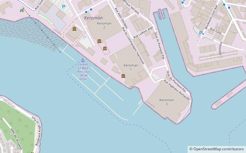
Map

Map

Facts and practical information
La Flore is a French Daphne class submarine. Launched in 1960, she was in service from 1964 to 1989. Since 2010, she can be visited as a museum in Lorient.
Coordinates: 47°43'43"N, 3°22'14"W
Address
Il faut tiree se faceboukil faut lanuee car jai un autre crrecteLorient
Contact
Social media
Add
Day trips
La Flore – popular in the area (distance from the attraction)
Nearby attractions include: Musée de la Marine, Port of Kergroise, Cité de la Voile Éric Tabarly, Musée interactif.
Frequently Asked Questions (FAQ)
Which popular attractions are close to La Flore?
Nearby attractions include Musée interactif, Lorient (4 min walk), Cité de la Voile Éric Tabarly, Lorient (6 min walk), Port of Kergroise, Lorient (17 min walk).
How to get to La Flore by public transport?
The nearest stations to La Flore:
Bus
Ferry
Bus
- La Base - Cité de la Voile • Lines: 13, T2 (7 min walk)
- E. Marec • Lines: 13 (9 min walk)
Ferry
- Lorient Port de Pêche • Lines: B2, B3 (14 min walk)
- Locmiquélic Sainte-Catherine • Lines: B3, B5 (23 min walk)


