Île de Versailles, Nantes
Map
Gallery
Facts and practical information
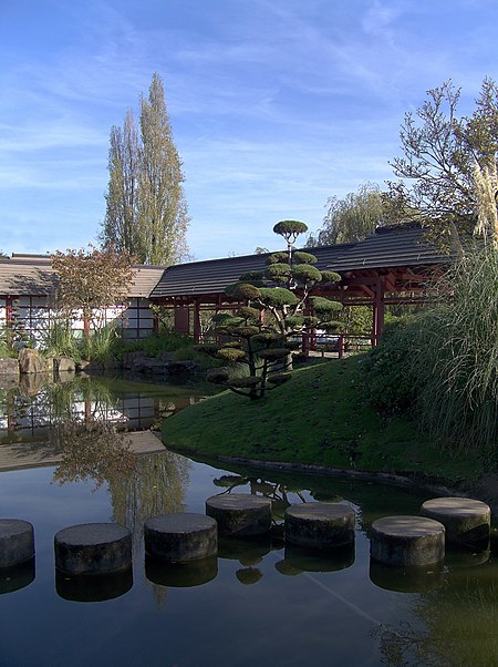
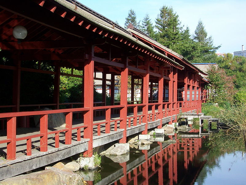
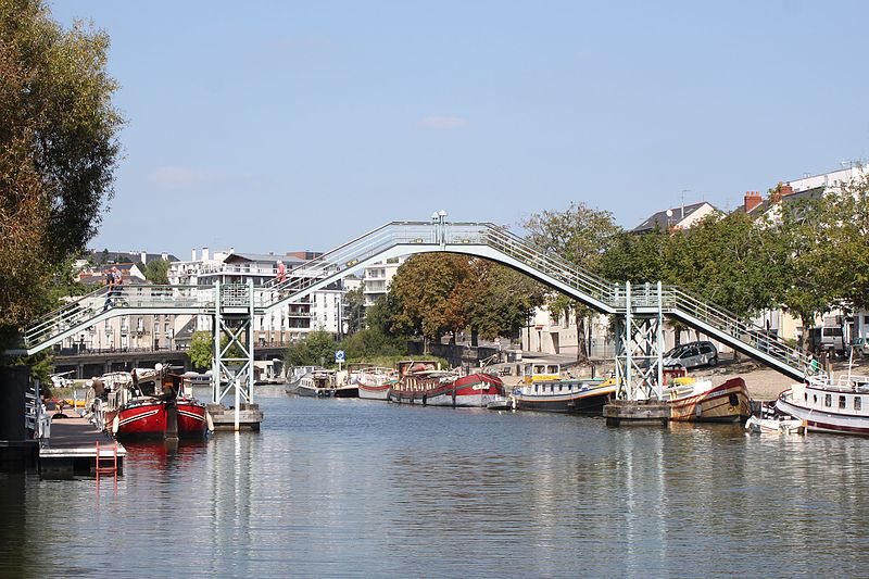
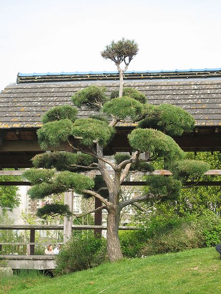
The island of Versailles, located on the Erdre river in Nantes, is an artificial island that was made partly with earthworks and dredging materials during the digging of the canal from Nantes to Brest.
Elevation: 30 ft a.s.l.Coordinates: 47°13'34"N, 1°33'16"W
Day trips
Île de Versailles – popular in the area (distance from the attraction)
Nearby attractions include: Passage Pommeraye, Nantes Cathedral, Château des ducs de Bretagne, Tomb of Francis II.
Frequently Asked Questions (FAQ)
When is Île de Versailles open?
Île de Versailles is open:
- Monday 8:30 am - 8 pm
- Tuesday 8:30 am - 8 pm
- Wednesday 8:30 am - 8 pm
- Thursday 8:30 am - 8 pm
- Friday 8:30 am - 8 pm
- Saturday 8:30 am - 8 pm
- Sunday 8:30 am - 8 pm
Which popular attractions are close to Île de Versailles?
Nearby attractions include Pont Général de la Motte Rouge, Nantes (5 min walk), Church of St. Felix, Nantes (9 min walk), St. Clement's Church, Nantes (12 min walk), Église Saint-Similien, Nantes (13 min walk).
How to get to Île de Versailles by public transport?
The nearest stations to Île de Versailles:
Tram
Bus
Train
Ferry
Tram
- Motte Rouge • Lines: 2 (3 min walk)
- Saint-Mihiel • Lines: 2 (6 min walk)
Bus
- Cochard • Lines: C6 (7 min walk)
- Bel Air • Lines: 12, 23, C2, Lila 10, Lila 11, Lila 1er, Lila 20, Lila 22, Lila 42E, Lila 71 (7 min walk)
Train
- Nantes (23 min walk)
Ferry
- Port Boyer • Lines: N3 (30 min walk)
- Petit Port Facultés • Lines: N3 (31 min walk)


