Wat Thammapathip, Moissy-Cramayel
Map

Map

Facts and practical information
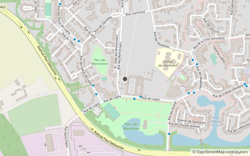
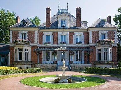
Wat Thammapathip (address: 243 Rue des maronniers) is a place located in Moissy-Cramayel (Île-de-France region) and belongs to the category of top attraction, temple.
It is situated at an altitude of 302 feet, and its geographical coordinates are 48°37'21"N latitude and 2°35'6"E longitude.
Among other places and attractions worth visiting in the area are: War Memorial (memorial, 14 min walk), Bowling Star, Lieusaint (bowling alley, 51 min walk), Réau (locality, 69 min walk).
Coordinates: 48°37'21"N, 2°35'6"E
Day trips
Wat Thammapathip – popular in the area (distance from the attraction)
Nearby attractions include: Château de Brie-Comte-Robert, Piscine stade nautique Gabriel Menut, Musée aéronautique et spatial Safran, Corbeil Cathedral.


