Château de la Rochelambert
Map

Map

Facts and practical information
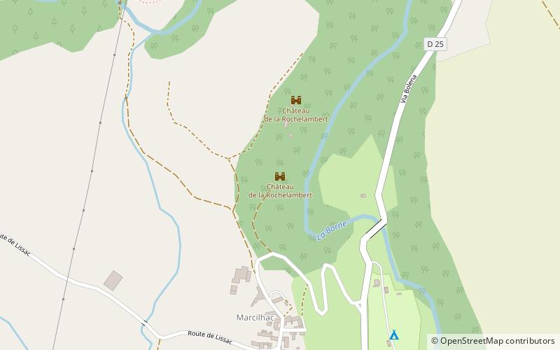
The Château de la Rochelambert is an eleventh century residence carved into a basalt cliff, the remains of an ancient volcano, located in the Borne valley in Marcilhac in the commune of Saint-Paulien.
Coordinates: 45°7'20"N, 3°47'26"E
Location
Auvergne-Rhône-Alpes
ContactAdd
Social media
Add
Day trips
Château de la Rochelambert – popular in the area (distance from the attraction)
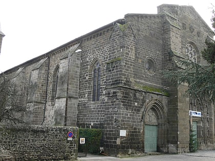
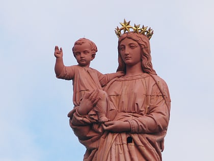
Nearby attractions include: Le Puy Cathedral, Saint Michel d'Aiguilhe, Château d'Allègre, Blanzac.


