Pont des Marchands, Narbonne
Map

Map

Facts and practical information
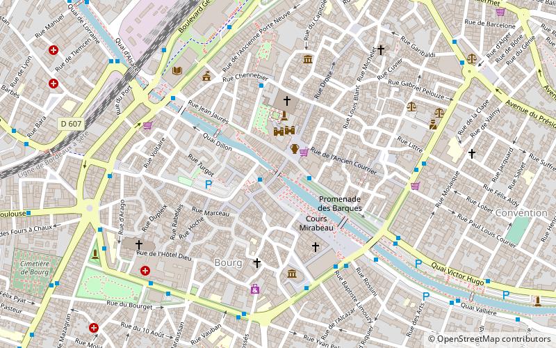
The Pont des Marchands is a historic bridge in Narbonne, southern France. It serves as a foundation for a row of houses and shops underneath which the Canal de la Robine runs through the old town. Its segmental arch has a span of ca. 15 m. In Roman times the structure featured as many as six arches. ()
Address
Narbonne
ContactAdd
Social media
Add
Day trips
Pont des Marchands – popular in the area (distance from the attraction)
Nearby attractions include: Les Halles, Narbonne Cathedral, Musée Lapidaire, Archbishops' Palace.
Frequently Asked Questions (FAQ)
Which popular attractions are close to Pont des Marchands?
Nearby attractions include Archbishops' Palace, Narbonne (2 min walk), Narbonne Cathedral, Narbonne (3 min walk), Musée Lapidaire, Narbonne (4 min walk), Médiathèque de Narbonne, Narbonne (6 min walk).
How to get to Pont des Marchands by public transport?
The nearest stations to Pont des Marchands:
Bus
Train
Bus
- Quatres Fontaines • Lines: Citadine 1 (1 min walk)
- Hôtel de Ville • Lines: Citadine 1 (2 min walk)
Train
- Narbonne (14 min walk)


