Château de Vaujours
Map

Map

Facts and practical information
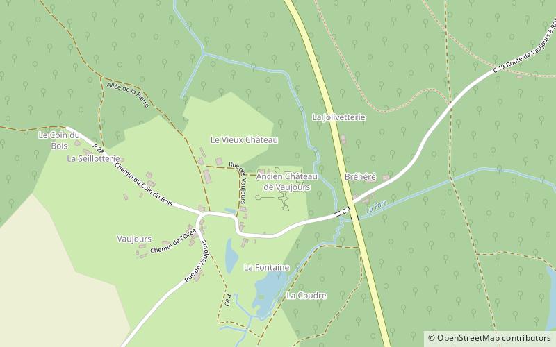
The Château de Vaujours is a ruined castle from the 12th and 15th centuries, located in the commune of Château-la-Vallière in the Indre-et-Loire département of central France. It was part of the seigneurie of Chasteaux-en-Anjou, the future Château-la-Vallière. ()
Location
Centre-Loire Valley
ContactAdd
Social media
Add
Day trips
Château de Vaujours – popular in the area (distance from the attraction)
Nearby attractions include: Abbey of La Clarté-Dieu, St. Michael's Church, War Memorial, Courcelles-de-Touraine.


