Château de Couterne

Gallery (1)
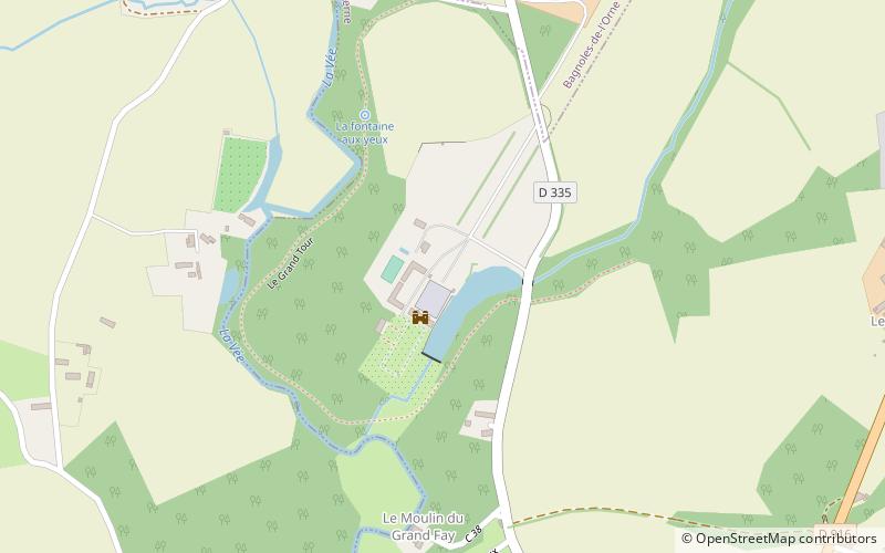
Map
Map
Facts and practical information
The castle of Couterne is a residence, of the sixteenth - seventeenth centuries, which stands on the town of Couterne in the south of the department of Orne, Normandy region.
The castle was registered as a historical monument by order of April 17, 1931.
Coordinates: 48°32'9"N, 0°24'47"W
Location
Normandy
ContactAdd
Social media
Add
Day trips


