Place André Maginot, Nancy

Gallery (2)
Map
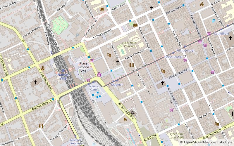
Map
Gallery
Facts and practical information
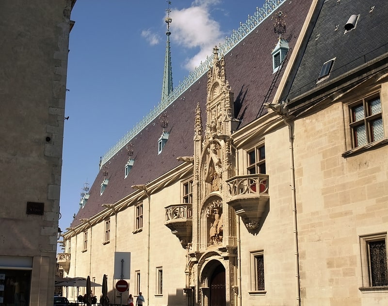
Place André-Maginot is a square located in the center of the city of Nancy, in the Meurthe-et-Moselle department, in the Lorraine region.
Coordinates: 48°41'23"N, 6°10'40"E
Address
4 place André MaginotCentre Ville - Charles III (Centre Gare - Marché)Nancy
ContactAdd
Social media
Add
Getting there by public transportation
Public transportation stops near this location
- Bus
- Tram
- Train
 Bus
Bus
- Calculate routeMaginot 1 min walk
- Calculate routeNancy Gare 3 min walk
- Calculate routeSaint-Sébastien 3 min walk
- Calculate routeNancy Place République 3 min walk
- Calculate routeMaginot 1 min walk
- Calculate routeNancy Gare 3 min walk
- Calculate routePoint Central 6 min walk
- Calculate routeKennedy 7 min walk
- Calculate routeNancy-Ville 5 min walk
Day trips


Frequently Asked Questions (FAQ)
Which popular attractions are close to Place André Maginot?
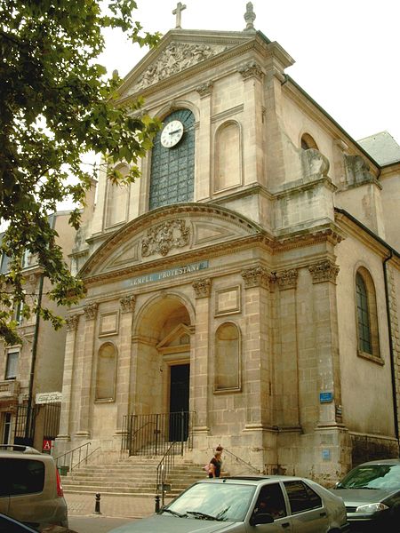
Nearby attractions include Temple Saint-Jean, Nancy (1 min walk), Le Cameo - Saint Sébastien, Nancy (2 min walk), Salle Poirel, Nancy (2 min walk), Porte Stanislas, Nancy (4 min walk).
How to get to Place André Maginot by public transport?
The nearest stations to Place André Maginot:
Bus
Tram
Train
Bus
- Maginot • Lines: Citadine 1 (1 min walk)
- Nancy Gare • Lines: 10, 11, Corol 1, Tempo 2, Tempo 4 (3 min walk)
Tram
- Maginot • Lines: T1 (1 min walk)
- Nancy Gare • Lines: T1 (3 min walk)
Train
- Nancy-Ville (5 min walk)