Saint-Léger Church
Map

Map

Facts and practical information
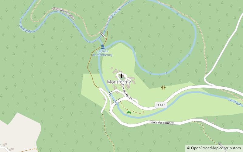
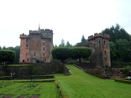
The Saint-Léger church is a Catholic church located in Montfermy, France.
Coordinates: 45°52'52"N, 2°48'34"E
Location
Auvergne-Rhône-Alpes
ContactAdd
Social media
Add
Day trips
Saint-Léger Church – popular in the area (distance from the attraction)
Nearby attractions include: Château-Dauphin, Château de Miremont, Les Ancizes-Comps, Saint-Jacques-d'Ambur.


