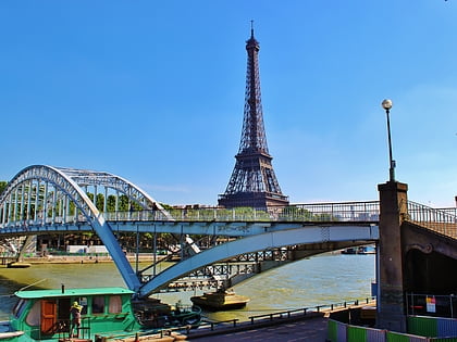
Port de Suffren, Paris
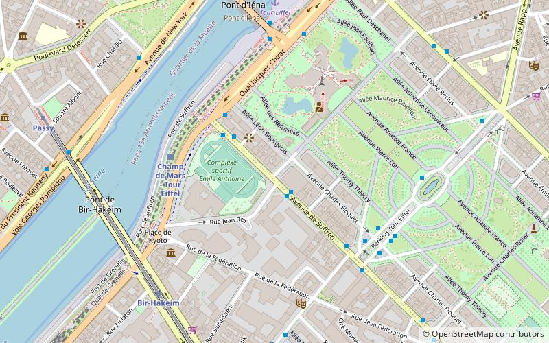
Map
Map

Facts and practical information
Port de Suffren is a thoroughfare in the 7th and 15th arrondissements of Paris, France, located on the left bank of the Seine.
Coordinates: 48°51'23"N, 2°17'35"E
Day trips
Port de Suffren – popular in the area (distance from the attraction)
Nearby attractions include: Eiffel Tower, Musée du quai Branly - Jacques Chirac, Champ de Mars, Jardins du Trocadéro.
Frequently Asked Questions (FAQ)
Which popular attractions are close to Port de Suffren?
Nearby attractions include Eiffel Tower, Paris (5 min walk), Champ de Mars, Paris (6 min walk), Pont de Bir-Hakeim, Paris (6 min walk), Pont d'Iéna, Paris (7 min walk).
How to get to Port de Suffren by public transport?
The nearest stations to Port de Suffren:
Bus
Train
Metro
Ferry
Bus
- Tour Eiffel • Lines: Direct 2 (2 min walk)
- Champ de Mars • Lines: 82 (3 min walk)
Train
- Champ de Mars - Tour Eiffel (4 min walk)
- Avenue du Président Kennedy (16 min walk)
Metro
- Bir-Hakeim • Lines: 6 (7 min walk)
- Passy • Lines: 6 (9 min walk)
Ferry
- Tour-Eiffel • Lines: Batobus (7 min walk)
- Beaugrenelle • Lines: Batobus (19 min walk)

 Metro
Metro


