Stade Georges Pompidou, Paris
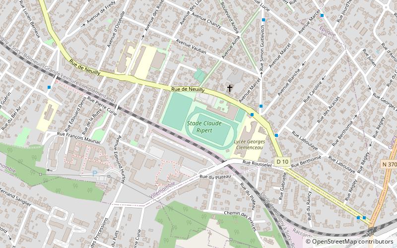
Map
Facts and practical information
Stade Georges Pompidou is a stadium in Valence, France. It is currently used for football and rugby union matches. In football, it is the home stadium of ASOA Valence. In rugby, it was home to Valence Sportif before the club's 2010 merger with nearby La Voulte Sportif to form ROC La Voulte-Valence; the merged club maintains its offices at the stadium and uses it as one of its two home grounds. The stadium holds 15,128 spectators. It is named after Georges Pompidou. ()
Local name: Stade Georges-Pompidou Opened: 1974 (52 years ago)Capacity: 15.1 thous.Coordinates: 48°52'36"N, 2°31'20"E
Address
89-105 Rue de NeuillyVillemombleParis 93250
ContactAdd
Social media
Add
Day trips
Stade Georges Pompidou – popular in the area (distance from the attraction)
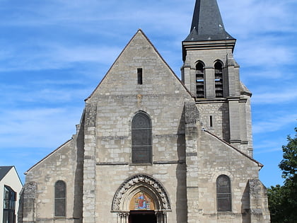
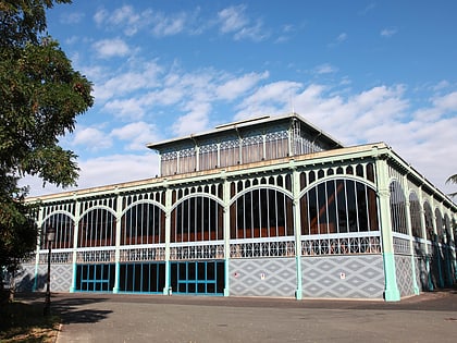
Nearby attractions include: Church of Saint Baudilus, Église Notre-Dame du Raincy, Pavillon Baltard, Musée de l'Histoire vivante.
Frequently Asked Questions (FAQ)
Which popular attractions are close to Stade Georges Pompidou?
Nearby attractions include Gagny, Paris (18 min walk), Villemomble, Paris (21 min walk).
How to get to Stade Georges Pompidou by public transport?
The nearest stations to Stade Georges Pompidou:
Bus
Train
Tram
Bus
- Lycée Georges Clemenceau • Lines: 114, 121, 303 (4 min walk)
- Avenue Lucie • Lines: 121, 303 (8 min walk)
Train
- Gagny (14 min walk)
- Le Raincy Villemomble Montfermeil (26 min walk)
Tram
- Les Coquetiers • Lines: T4 (39 min walk)
 Metro
Metro