Golf du Chateau de la Vallade, Saint-Porchaire
Map

Map

Facts and practical information
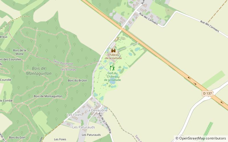
Golf du Chateau de la Vallade (address: La Vallade) is a place located in Saint-Porchaire (New Aquitaine region) and belongs to the category of outdoor activities, golf.
It is situated at an altitude of 144 feet, and its geographical coordinates are 45°48'5"N latitude and 0°45'5"W longitude.
Among other places and attractions worth visiting in the area are: Château de la Roche Courbon (forts and castles, 72 min walk), Saint-Georges-des-Coteaux (locality, 82 min walk), Musée de la Pierre, Crazannes (museum, 86 min walk).
Coordinates: 45°48'5"N, 0°45'5"W
Day trips
Golf du Chateau de la Vallade – popular in the area (distance from the attraction)
Nearby attractions include: Château de la Roche Courbon, Le Mung, Château de Taillebourg, Church of St. Eutrope.


