Château de Pennesuyt, Bourg-en-Bresse
Map

Map

Facts and practical information
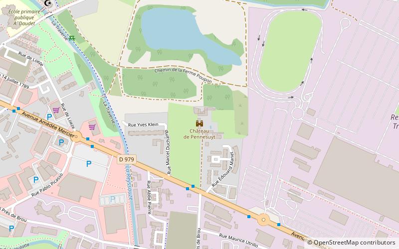
The castle of Pennesuyt or castle of Loëze is an old fortified house of the XIVth century rebuilt in the XVIth century, center of the seigniory of "Painessuyt", which stands on the commune of Bourg-en-Bresse in the department of Ain and the region Auvergne-Rhône-Alpes.
The castle was partially registered as a historical monument by order of June 9, 1987.
Coordinates: 46°12'7"N, 5°15'16"E
Address
Bourg-en-Bresse
ContactAdd
Social media
Add
Day trips
Château de Pennesuyt – popular in the area (distance from the attraction)
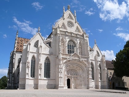
Nearby attractions include: Royal Monastery of Brou, Apothicairerie de l'hôtel-Dieu, Musée municipal de Bourg-en-Bresse, Philibert et Marguerite.
Frequently Asked Questions (FAQ)
Which popular attractions are close to Château de Pennesuyt?
Nearby attractions include De l'en-dessous, Bourg-en-Bresse (23 min walk), Musée municipal de Bourg-en-Bresse, Bourg-en-Bresse (23 min walk), Royal Monastery of Brou, Bourg-en-Bresse (24 min walk), Philibert et Marguerite, Bourg-en-Bresse (24 min walk).
How to get to Château de Pennesuyt by public transport?
The nearest stations to Château de Pennesuyt:
Bus
Bus
- Pennessuy • Lines: 3 (4 min walk)
- Picasso • Lines: 3 (6 min walk)


