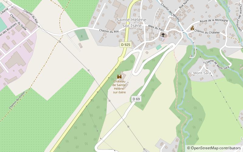
Château de Sainte-Hélène-sur-Isère, Sainte-Hélène-sur-Isère

Gallery (1)
Map
Map
Facts and practical information
The castle of Sainte-Hélène-sur-Isère - formerly the castle of Sainte-Hélène-des-Millières - is an ancient fortified castle of the XIIIth century reworked in the XVIIth century, seat of the seigniory of Sainte-Hélène-des-Millières, raised to the title of barony. It is located in France on the commune of Sainte-Hélène-sur-Isère, in Savoy.
The castle has been registered as a historical monument since May 17, 1940.
Coordinates: 45°36'40"N, 6°19'0"E
Address
Sainte-Hélène-sur-Isère
ContactAdd
Social media
Add
Day trips


