Château Rigaud, Mouliets-et-Villemartin

Gallery (1)
Map
Map
Facts and practical information
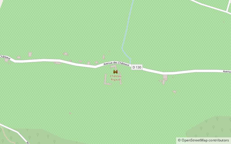
Château Rigaud (address: 14 Avenue des Châteaux) is a place located in Mouliets-et-Villemartin (New Aquitaine region) and belongs to the category of forts and castles.
It is situated at an altitude of 89 feet, and its geographical coordinates are 44°49'21"N latitude and 0°0'50"W longitude.
Among other places and attractions worth visiting in the area are: Église Saint_Pierre (church, 33 min walk), War Memorial (memorial, 35 min walk), Sainte-Radegonde (locality, 48 min walk).
Coordinates: 44°49'21"N, 0°0'50"W
Address
14 Avenue des ChâteauxMouliets-et-Villemartin
ContactAdd
Social media
Add
Day trips


