Lac du Lachtelweiher
Map

Map

Facts and practical information
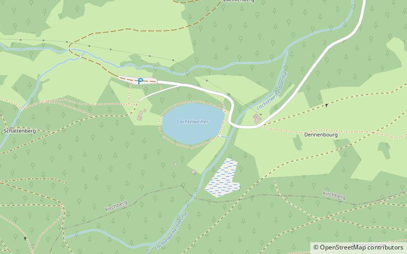
Lac du Lachtelweiher is a lake in Haut-Rhin, France. At an elevation of 740 m, its surface area is 0.015 km². The French name is a tautology as the German Weiher already means pond/lake. ()
Alternative names: Area: 3.71 acres (0.0058 mi²)Maximum depth: 16 ftElevation: 2448 ft a.s.l.Coordinates: 47°46'38"N, 6°55'52"E
Location
Grand Est
ContactAdd
Social media
Add
Day trips
Lac du Lachtelweiher – popular in the area (distance from the attraction)
Nearby attractions include: Ballon d'Alsace, Lac d'Alfeld, Lac des Perches, Fort de Giromagny.


