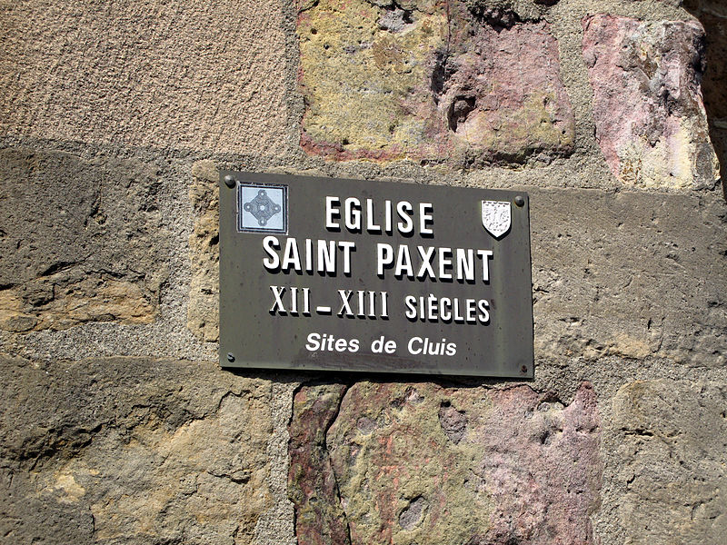
Église Saint-Paxent, Cluis

Gallery (2)
Map
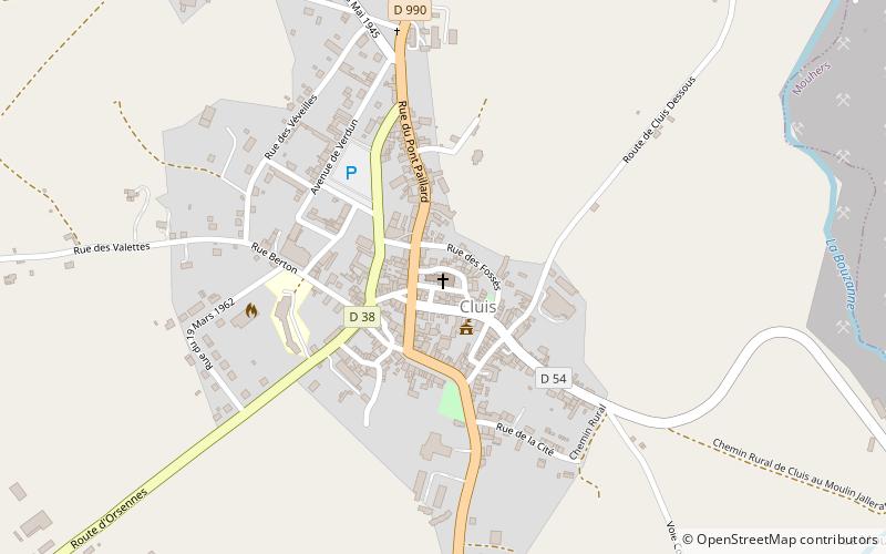
Map
Gallery
Facts and practical information
The Saint-Paxent de Cluis church is a French Catholic church. It is located on the territory of the commune of Cluis, in the department of Indre, in the region Centre-Val de Loire.
Coordinates: 46°32'41"N, 1°44'59"E
Address
Rue de l'ÉgliseCluis 36340
ContactAdd
Social media
Add
Day trips


