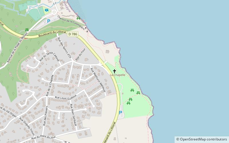
Chapelle Notre Dame d'Espérance, Étables-sur-Mer
Map

Map

Facts and practical information
Chapelle Notre Dame d'Espérance (address: Allée Olivier le Tardif) is a place located in Étables-sur-Mer (Brittany region) and belongs to the category of church.
It is situated at an altitude of 157 feet, and its geographical coordinates are 48°37'60"N latitude and 2°49'25"W longitude.
Among other places and attractions worth visiting in the area are: War Memorial (memorial, 18 min walk), Saint-Quay-Portrieux (locality, 39 min walk), Galerie d'art Athena, Binic (museum, 56 min walk).
Coordinates: 48°37'60"N, 2°49'25"W
Day trips
Chapelle Notre Dame d'Espérance – popular in the area (distance from the attraction)
Nearby attractions include: Tréguidel, Pommorio, Galerie d'art Athena, Centre Nautique de Plérin.


