Natzweiler-Struthof concentration camp
Map

Map

Facts and practical information
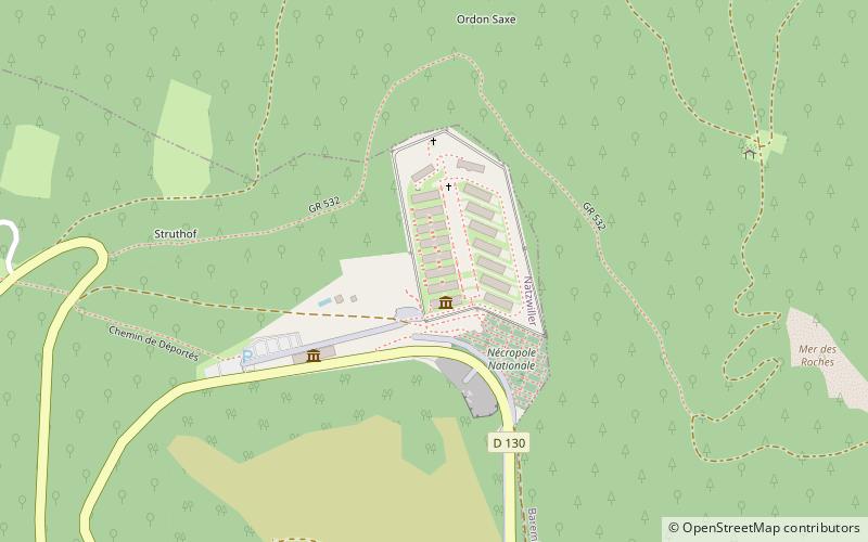
Natzweiler-Struthof was a Nazi concentration camp located in the Vosges Mountains close to the villages of Natzweiler and Struthof in the Gau Baden-Alsace of Germany, on territory annexed from France on a de facto basis in 1940. It operated from 21 May 1941 to September 1944, and was the only concentration camp established by the Germans in the territory of pre-war France. The camp was located in a heavily-forested and isolated area at an elevation of 800 metres. ()
Location
Route départementale 130Natzwiller 67130 Grand Est
Contact
+33 3 88 47 44 59
Social media
Add
Day trips
Natzweiler-Struthof concentration camp – popular in the area (distance from the attraction)
Nearby attractions include: Croix de Lorraine, Natzwiller, Lanterne des morts, Block crématoire.


