Chapelle de la Charité, Arles
Map

Map

Facts and practical information
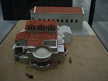
The Chapel of Charity, in Arles, is part of a larger complex: the Carmelite Convent, which is difficult to identify today because it was transformed into a luxury hotel in 1928. Well preserved because it was used as an auditorium for the hotel, it now belongs to the municipality which uses it for temporary exhibitions.
Coordinates: 43°40'30"N, 4°37'44"E
Address
Les AlyscampsArles
ContactAdd
Social media
Add
Day trips
Chapelle de la Charité – popular in the area (distance from the attraction)
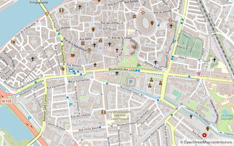
Nearby attractions include: Arles Amphitheatre, Church of St. Trophime, Musée de l'Arles antique, Alyscamps.
Frequently Asked Questions (FAQ)
Which popular attractions are close to Chapelle de la Charité?
Nearby attractions include Church of St. Trophime, Arles (2 min walk), Temple, Arles (3 min walk), Obélisque d'Arles, Arles (3 min walk), Roman Theatre of Arles, Arles (3 min walk).
How to get to Chapelle de la Charité by public transport?
The nearest stations to Chapelle de la Charité:
Bus
Train
Bus
- Zola • Lines: A (2 min walk)
- Lices • Lines: 1, 2, 4, 5, 6, A, A10, A30, A50 (2 min walk)
Train
- Arles (18 min walk)


