Château de Flamarens
Map
![Château de Flamarens location map](https://tzmedia.b-cdn.net/media/images/static-maps/fr/44_0167_0_79194.jpg)
Map
![Château de Flamarens location map](https://tzmedia.b-cdn.net/media/images/static-maps/fr/44_0167_0_79194.jpg)
Facts and practical information
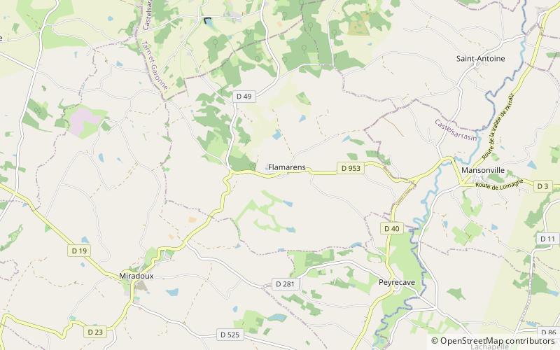
The Château de Flamarens is a castle in the commune of Flamarens in the Gers département of France. ()
Coordinates: 44°1'0"N, 0°47'31"E
Location
GR 65Occitanie
ContactAdd
Social media
Add
Day trips
Château de Flamarens – popular in the area (distance from the attraction)
Nearby attractions include: Halle aux grains, St. Peter's Church, Chapelle Sainte-Catherine du Port, Espace 123 - Auvill'art.