Lac de Chambon
Map

Map

Facts and practical information
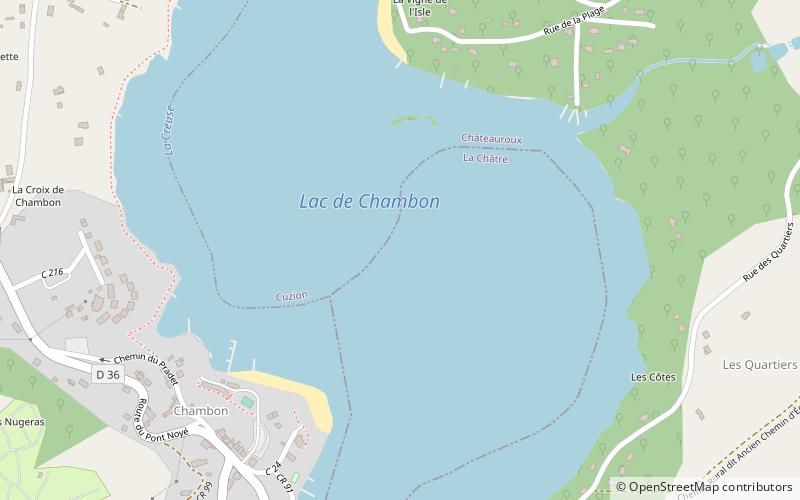
The Lac de Chambon is an artificial lake on the river Creuse, France, created by the Éguzon Dam, a hydroelectric dam. Beaches have been created around the lake, the largest in the Centre Region. There is a sailing school on the lake near Eguzon. Canoes, kayaks and pedalos can be hired in season. The lake is also very popular with waterskiers and anglers. ()
Alternative names: Area: 1.2 mi²Length: 9.94 miAverage depth: 61 ftElevation: 656 ft a.s.l.Coordinates: 46°26'12"N, 1°36'49"E
Location
Centre-Loire Valley
ContactAdd
Social media
Add
Day trips
Lac de Chambon – popular in the area (distance from the attraction)
Nearby attractions include: Saint Stephen's Church, Château de Crozant, Arboretum de la Sédelle, Château de la Prune-au-Pot.


