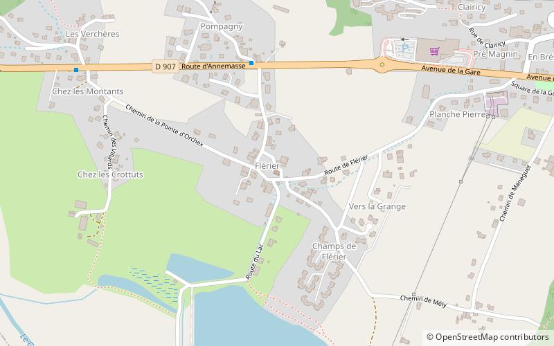
Chapelle de Flérier, Taninges
Map

Map

Facts and practical information
The chapel of Flérier is a chapel located in the department of Haute-Savoie, in the commune of Taninges, in France.
Coordinates: 46°6'22"N, 6°34'44"E
Address
Taninges
ContactAdd
Social media
Add
Day trips
Chapelle de Flérier – popular in the area (distance from the attraction)
Nearby attractions include: Chartreuse de Mélan, Église Saint-Jean-Baptiste de Taninges, Fountain, Châtillon-sur-Cluses.
Frequently Asked Questions (FAQ)
Which popular attractions are close to Chapelle de Flérier?
Nearby attractions include Église Saint-Jean-Baptiste de Taninges, Taninges (16 min walk), Fountain, Taninges (17 min walk), Chartreuse de Mélan, Taninges (24 min walk).


