Trek Zone

Croix en fer du 18e siècle, Saint-Sulpice-sur-Lèze

#1 among attractions in Saint-Sulpice-sur-Lèze

Wayside shrine
Croix en fer du 18e siècle

Facts and practical information

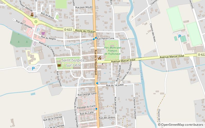
Croix en fer du 18e siècle is a place located in Saint-Sulpice-sur-Lèze (Occitanie region) and belongs to the category of wayside shrine.

It is situated at an altitude of 663 feet, and its geographical coordinates are 43°19'42"N latitude and 1°19'22"E longitude.

Among other places and attractions worth visiting in the area are: Noé (locality, 73 min walk), Château Sainte-Marie (forts and castles, 119 min walk), Le Fauga (locality, 126 min walk).

Coordinates: 43°19'42"N, 1°19'22"E
Address

Saint-Sulpice-sur-Lèze France

ContactAdd
Social media
Add

Saint-Sulpice-sur-Lèze plan & book

Unleash the traveler in you — discover the cheapest flight deals, find the perfect hotel or hostel nearby, and search for the best car rental prices. Travel at your own pace to discover new places and enjoy your journey.

Day trips

Croix en fer du 18e siècle – popular in the area (distance from the attraction)

Nearby attractions include: Château Sainte-Marie, Carbonne, Le Fauga, Noé.

  • chateau sainte marie4.7 miNW
  • carbonne5.4 miSW
  • le fauga4.9 miN
  • noe2.9 miNW

Where to next? Visit occitanie Occitanie region page or discover the top tourist attractions in France.