Mairie d'Allemont, Allemond

Gallery (1)
Map
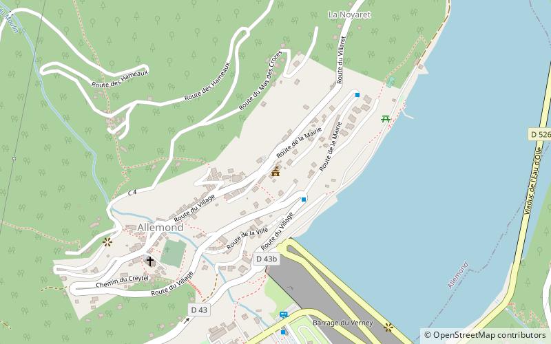
Map
Facts and practical information
Mairie d'Allemont (address: 5 Chemin des Faures) is a place located in Allemond (Auvergne-Rhône-Alpes region) and belongs to the category of city hall.
It is situated at an altitude of 2648 feet, and its geographical coordinates are 45°7'56"N latitude and 6°2'26"E longitude.
Among other places and attractions worth visiting in the area are: War Memorial (memorial, 7 min walk), Lac du Verney (nature, 12 min walk), Oz (area, 14 min walk).
Coordinates: 45°7'56"N, 6°2'26"E
Address
5 Chemin des FauresAllemond
ContactAdd
Social media
Add
Day trips
Mairie d'Allemont – popular in the area (distance from the attraction)
Nearby attractions include: Lac du Verney, Oz, Musée EDF Hydrélec, War Memorial.


Frequently Asked Questions (FAQ)
Which popular attractions are close to Mairie d'Allemont?
Nearby attractions include War Memorial, Allemond (7 min walk), Lac du Verney, Allemond (12 min walk), Oz, Allemond (14 min walk).