Mont Gargan
Map
Gallery

Facts and practical information
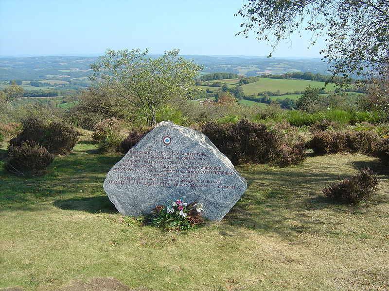
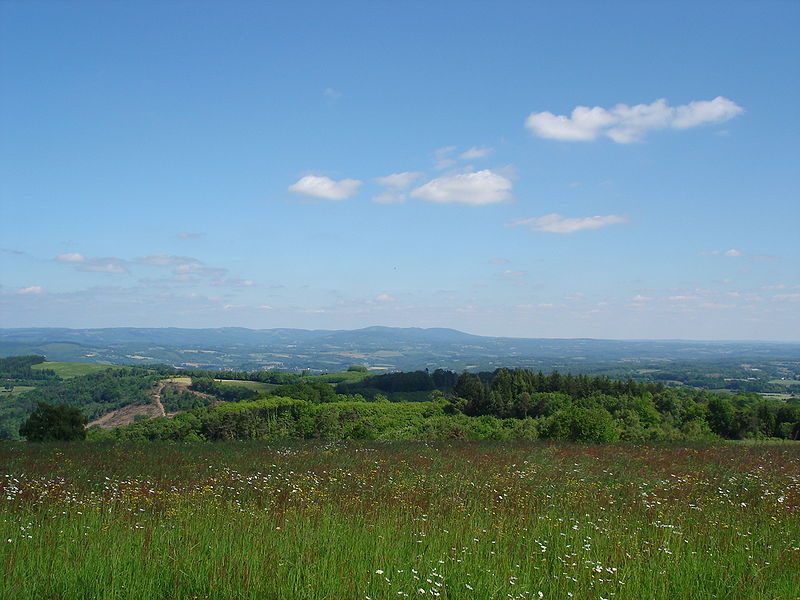
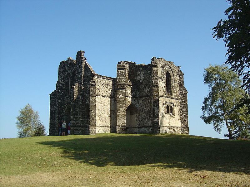
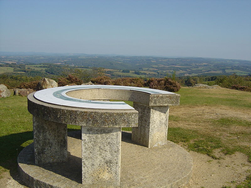
Mont Gargan is a peak in the Massif central, situated in the western edge of the commune of Saint-Gilles-les-Forêts in the department of Haute Vienne. The western slope of Mont Gargan, up to 100 metres from the summit, is in the commune of La Croisille Sur Briance. Mont Gargan is situated in the parc naturel régional de Millevaches en Limousin. Its occitan name is puèg Gerjant and it is the subject of numerous legends. ()
Location
New Aquitaine
ContactAdd
Social media
Add
Day trips
Mont Gargan – popular in the area (distance from the attraction)
Nearby attractions include: St. Martin's Church, War Memorial, Chamberet.


