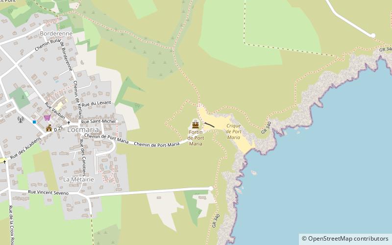
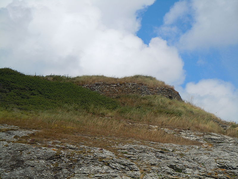
Fortin de Port Maria, Belle Île

Gallery (2)
Map
Map
Gallery
Facts and practical information
The fort of Port Maria is a set of fortifications of the XVII th century defending the ria of Port Maria on the commune of Locmaria, constituting an element of defense of Belle-Île-en-Mer in Morbihan.
Coordinates: 47°17'39"N, 3°4'38"W
Address
Belle Île
ContactAdd
Social media
Add
Day trips
Fortin de Port Maria – popular in the area (distance from the attraction)
Nearby attractions include: Le Palais.
