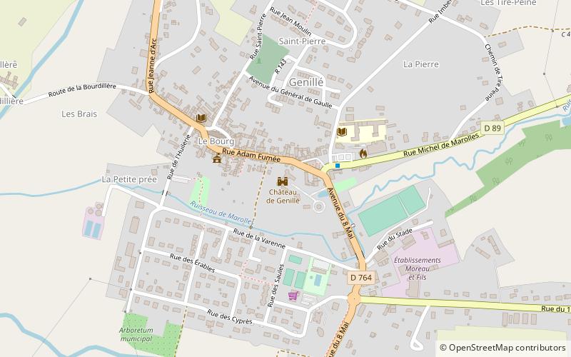
Château de Genillé, Genillé
Map

Map

Facts and practical information
The castle of Genillé is a former lordly dwelling located in the town of Genillé, in the department of Indre-et-Loire
It was built in the 15th century by the local lords and enlarged in the following centuries.
Coordinates: 47°11'4"N, 1°5'44"E
Address
Genillé
ContactAdd
Social media
Add
Day trips
Château de Genillé – popular in the area (distance from the attraction)
Nearby attractions include: Château de Montrésor, Château de Montpoupon, Château de Loches, Chartreuse du Liget.


