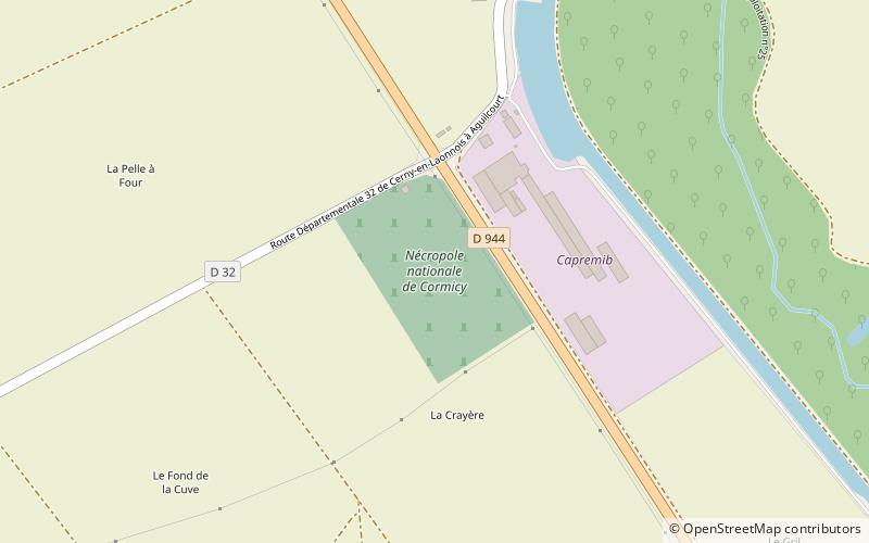
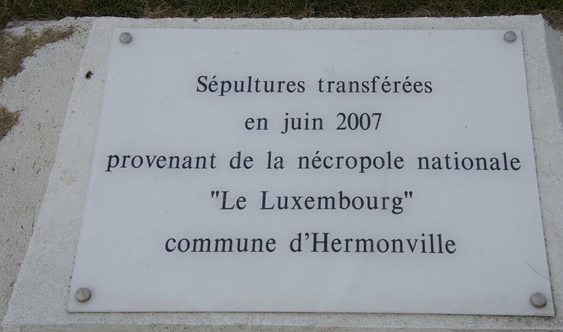
Nécropole nationale de Cormicy

Gallery (2)
Map
Map
Gallery
Facts and practical information
The Cormicy National Necropolis is a French World War I military cemetery located on the territory of the commune of Cormicy, in the suburbs of Reims.
Coordinates: 49°22'25"N, 3°55'13"E
Location
Grand Est
ContactAdd
Social media
Add
Day trips


