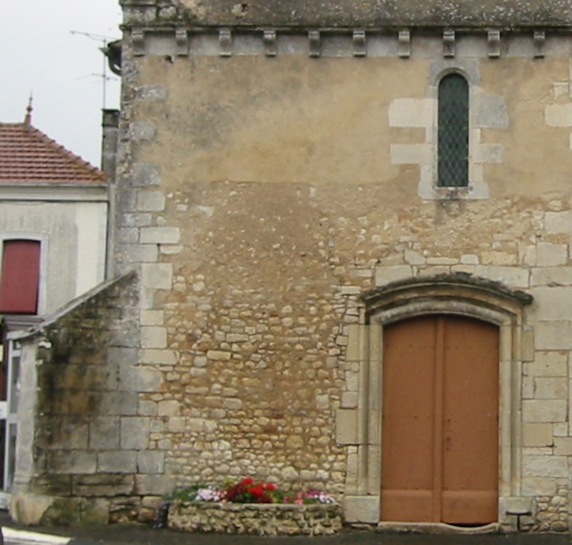
Saint-Bonnet Church, Saint-Bonnet-sur-Gironde

Gallery (2)
Map
Map
Gallery
Facts and practical information
Saint-Bonnet Church is a place located in Saint-Bonnet-sur-Gironde (New Aquitaine region) and belongs to the category of church.
It is situated at an altitude of 30 feet, and its geographical coordinates are 45°21'17"N latitude and 0°39'38"W longitude.
Among other places and attractions worth visiting in the area are: St. Peter's Church (church, 73 min walk), Saint-Palais (locality, 114 min walk), Église Saint-Martin du Petit-Niort (church, 115 min walk).
Coordinates: 45°21'17"N, 0°39'38"W
Address
Saint-Bonnet-sur-Gironde
ContactAdd
Social media
Add
Day trips


