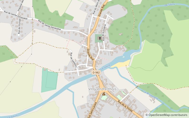
Calvaire
Map

Map

Facts and practical information
Calvaire is a place located in France and belongs to the category of wayside shrine.
It is situated at an altitude of 322 feet, and its geographical coordinates are 48°44'48"N latitude and 4°37'34"E longitude.
Among other places and attractions worth visiting in the area are: Canal latéral à la Marne (canal, 37 min walk), Canal entre Champagne et Bourgogne (canal, 38 min walk), Façade de la Chapelle du Collège des garçonsVitry-le-François (ruins, 57 min walk).
Coordinates: 48°44'48"N, 4°37'34"E
Day trips
Calvaire – popular in the area (distance from the attraction)
Nearby attractions include: Collegiale Notre-Dame-de-l'Assomption, Dernier rempart, Nécropole nationale de Vitry-le-François, Canal entre Champagne et Bourgogne.


