Cité de l'Huître, Marennes

Gallery (1)
Map
Map
Facts and practical information
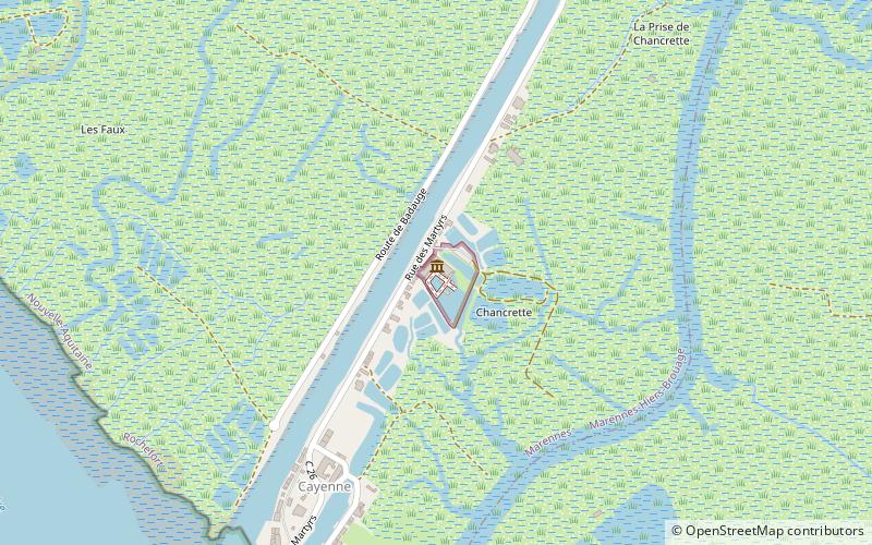
Cité de l'Huître (address: Chenal de la cayenne) is a place located in Marennes (New Aquitaine region) and belongs to the category of museum.
It is situated at an altitude of 3 feet, and its geographical coordinates are 45°47'38"N latitude and 1°7'19"W longitude.
Among other places and attractions worth visiting in the area are: Canal de la Charente à la Seudre (canal, 9 min walk), War Memorial (memorial, 51 min walk), St. Peter's Church (church, 52 min walk).
Coordinates: 45°47'38"N, 1°7'19"W
Address
Chenal de la cayenneMarennes
ContactAdd
Social media
Add
Day trips


