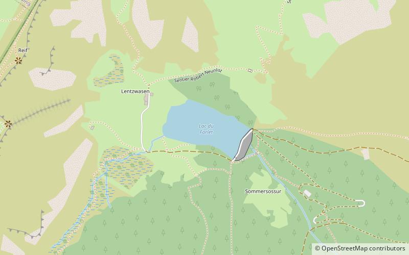
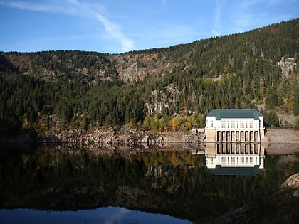
Lac des Truites, Soultzeren
#1 among attractions in Soultzeren

Facts and practical information
Lac des Truites is a lake in the municipality of Soultzeren. It means Lake of Trouts in English. ()
Soultzeren France
Soultzeren plan & book
Unleash the traveler in you — discover the cheapest flight deals, find the perfect hotel or hostel nearby, and search for the best car rental prices. Travel at your own pace to discover new places and enjoy your journey.
Lac des Truites – popular in the area (distance from the attraction)
Nearby attractions include: Lac Blanc, Lac Noir, Jardin d'altitude du Haut Chitelet, Lac Vert.
 Nature, Natural attraction, Lake
Lac Blanc
45 min walk • Nestled in the heart of the French Alps, Lac Blanc is a pristine mountain lake that offers breathtaking views and a serene escape for nature lovers and adventurers alike. Situated at an altitude of 2352 meters, this alpine gem is accessible via a challenging hike...
 Natural attraction, Body of water, Park
Lac Noir, Orbey
29 min walk • Lac Noir is a lake in Orbey, Alsace, France. At an elevation of 955 m, its surface area is 0.14 km².
 Garden, Botanical garden
Jardin d'altitude du Haut Chitelet, Xonrupt-Longemer
119 min walk • The Jardin d'altitude du Haut Chitelet is a botanical garden specializing in high-altitude alpine plants, located at about 1220 metres altitude on the Route des Crêtes, near the peak of Hohneck, about 1 km south of the Col de la Schlucht in Vosges, Lorraine, France.
 Nature, Natural attraction, Lake
Lac Vert, Orbey
30 min walk • Lac Vert is a lake in Haut-Rhin, France. At an elevation of 1044 m, its surface area is 0.072 km².
 Nature, Natural attraction, Mountain
Le Tanet
46 min walk • Le Tanet is one of the highest peaks of the Vosges Mountains in the department of Haut-Rhin, Alsace in France. Its height is 1292m, above the sea level and it is located about 5 km away from the Hohneck and north of the Col de la Schlucht.
 Forts and castles, Romanesque architecture
Château de Hohenack, Labaroche
128 min walk • The Château de Hohenack is a ruined castle in the commune of Labaroche in the Haut-Rhin département of France. Significant building periods were the last quarter of the 12th century, the 13th, 15th and 16th centuries. In plan view, the edifice is typical of the 12th century, constituting a polygonal curtain wall and a square keep.
 Nature, Natural attraction, Mountain pass
Col de la Schlucht
102 min walk • The Col de la Schlucht is a mountain pass in the Vosges Mountains of France. On the west side lies the historical region of Lorraine, on the east side lies the historical region of Alsace.
 Nature, Natural attraction, Mountain pass
Col du Bonhomme
110 min walk • The Col du Bonhomme is a mountain pass in the Vosges Mountains of France. The pass connects Kaysersberg with Saint-Dié-des-Vosges and is also crossed by the Route des Crêtes. The pass takes its name from the nearby village of Le Bonhomme, 6 km to the east.
 Monastery
Pairis Abbey
65 min walk • Pairis Abbey is a former Cistercian monastery in Orbey in Haut-Rhin, Alsace, northeastern France. The surviving building serves today as a nursing home. The abbey was founded in 1138 by the count of Eguisheim as a daughter house of Lucelle Abbey.
 48°2'23"N • 7°8'18"E
Maison du Parc Naturel Régional des Ballons des Vosges, Munster
133 min walk • Natural history museum, Specialty museum, Museum
 Memorial
Borne Vauthier Demarcation Stone, Le Bonhomme
130 min walk • The bollards of the Front, also called Vauthier bollards, are a set of sculptures made in the 1920s by the artist Paul Moreau-Vauthier to materialize the front line as it was in July 1918, during one of the last Allied offensives.


