Lac Vert
Map
Map

Facts and practical information
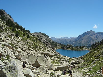
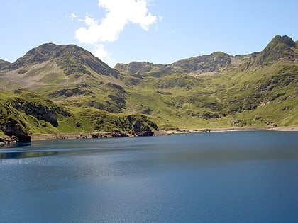
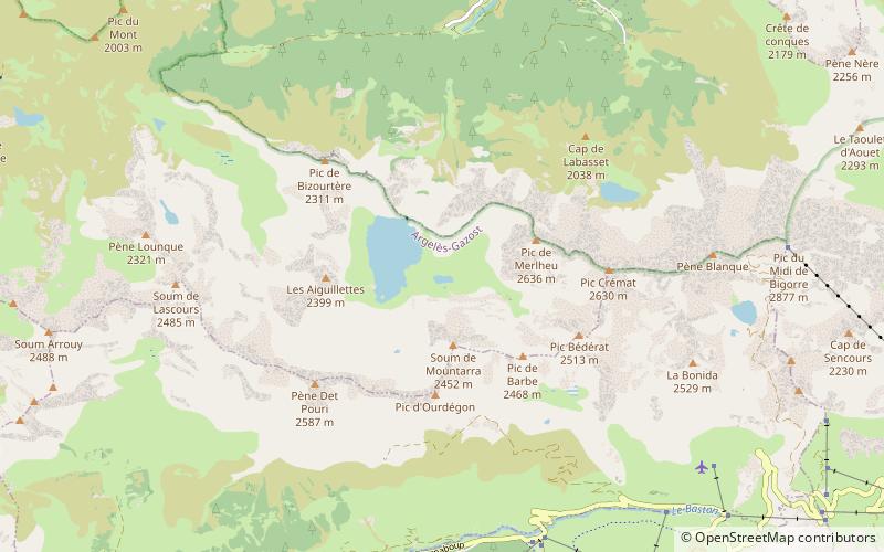
Lac Vert is a small lake in Hautes-Pyrénées, France. At an elevation of 2,009 metres, its surface area is 1.4 hectares. ()
Alternative names: Area: 3.46 acres (0.0054 mi²)Elevation: 6634 ft a.s.l.Coordinates: 42°55'60"N, 0°5'16"E
Location
Occitanie
ContactAdd
Social media
Add
Day trips
Lac Vert – popular in the area (distance from the attraction)
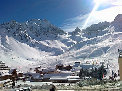
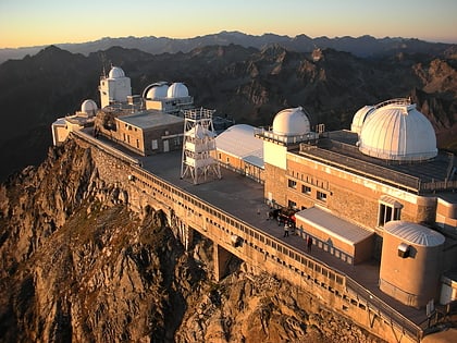
Nearby attractions include: La Mongie, Château de Sainte-Marie, Hautacam, Pic du Midi de Bigorre.

