Refuge du Pavé 2841, Écrins National Park
Map

Map

Facts and practical information
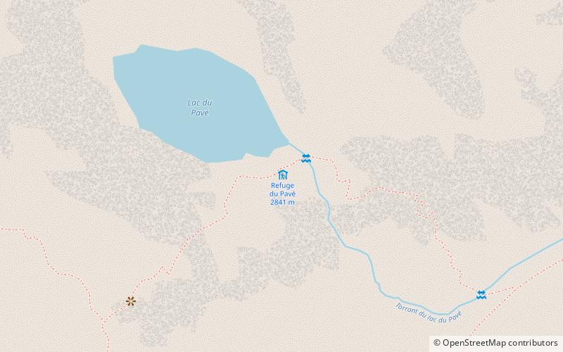
The refuge du Pavé is a refuge located in the Écrins massif, in France, at 2 841 m of altitude, at the foot of the Pavé and the Gaspard peak, and at the edge of the Pavé lake. The old hut was destroyed by an avalanche and a new one was built in 1970, which was also destroyed by an avalanche. It is the hut of the workers of the construction site of the time which was since arranged as refuge.
Coordinates: 44°59'9"N, 6°19'43"E
Address
Écrins National Park
ContactAdd
Social media
Add
Day trips
Refuge du Pavé 2841 – popular in the area (distance from the attraction)
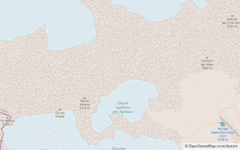
Nearby attractions include: Pic Gaspard, Roche Méane, Refuge Adèle Planchard 3169, Refuge du Promontoire.


