Stade Léo Lagrange, Besançon
Map
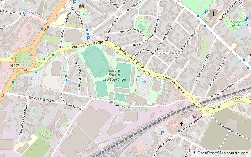
Map

Facts and practical information
Stade Léo Lagrange is a stadium in Besançon, France. It is currently used for football matches and is the home stadium of Racing Besançon. The stadium holds 10,500 spectators. ()
Local name: Stade Léo-Lagrange Opened: 1939 (87 years ago)Capacity: 10.5 thous.Coordinates: 47°14'38"N, 6°0'12"E
Address
13 avenue Léo LagrangeMontrapon - Montboucons (Observatoire)Besançon 25000
ContactAdd
Social media
Add
Day trips
Stade Léo Lagrange – popular in the area (distance from the attraction)
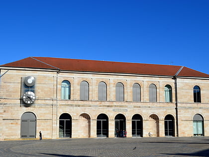
Nearby attractions include: Museum of Fine Arts and Archeology, Evangelical Missionary Church of Besançon, Synagogue of Besançon, Basilica of Saint-Ferjeux.
Frequently Asked Questions (FAQ)
Which popular attractions are close to Stade Léo Lagrange?
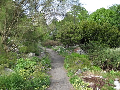
Nearby attractions include Jardin botanique de Besançon, Besançon (15 min walk), École nationale supérieure de mécanique et des microtechniques, Besançon (17 min walk), Haras National de Besançon, Besançon (17 min walk), Besançon Astronomical Observatory, Besançon (18 min walk).
How to get to Stade Léo Lagrange by public transport?
The nearest stations to Stade Léo Lagrange:
Bus
Tram
Train
Bus
- Stade Léo Lagrange • Lines: L3 (2 min walk)
- Palais des Sports • Lines: L3 (5 min walk)
Tram
- Canot • Lines: T1, T2 (21 min walk)
- Battant • Lines: T1, T2 (21 min walk)
Train
- Besançon-Viotte (23 min walk)

