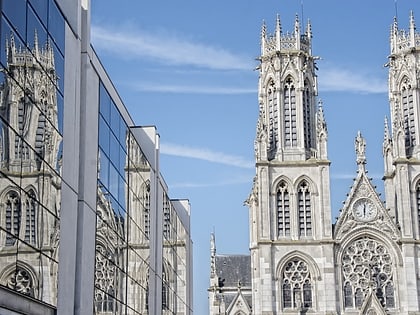
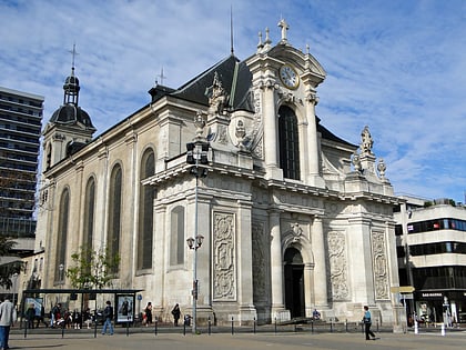
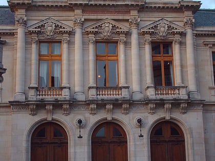
Église de la Vierge des Pauvres, Nancy
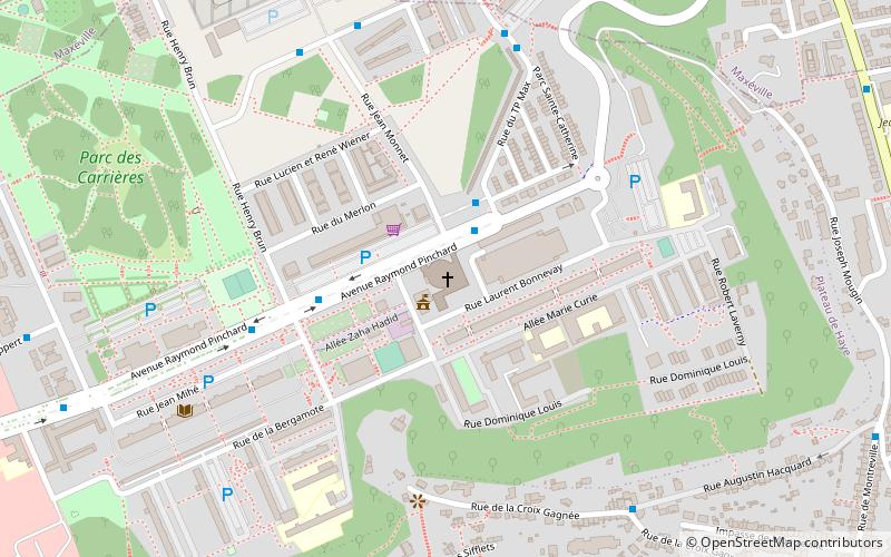
Map
Map

Facts and practical information
The Church of the Virgin of the Poor is a Catholic parish center built in the mid-1960s in Nancy, in the Haut-du-Lièvre district, by the architect Dominique Louis. Claude Prouvé, who worked at the time for Dominique Louis, also collaborated on the project.
Coordinates: 48°42'9"N, 6°9'17"E
Address
Haut-du-Lièvre - Gentilly (Haut-du-Lièvre - Tamaris - Tilleul Argenté)Nancy
ContactAdd
Social media
Add
Day trips
Église de la Vierge des Pauvres – popular in the area (distance from the attraction)
Nearby attractions include: Villa Majorelle, Musée Lorrain, Church of Saint-François-des-Cordeliers, Porte Désilles.
Frequently Asked Questions (FAQ)
Which popular attractions are close to Église de la Vierge des Pauvres?
Nearby attractions include Maison de Jean Prouvé, Nancy (10 min walk), Maxéville, Nancy (20 min walk), Église Saint-Vincent et Saint-Fiacre, Nancy (20 min walk), St. Anne's Church, Nancy (23 min walk).
How to get to Église de la Vierge des Pauvres by public transport?
The nearest stations to Église de la Vierge des Pauvres:
Bus
Train
Tram
Bus
- Tilleul Argenté • Lines: 13, Tempo 2 (2 min walk)
- Cèdre Bleu • Lines: 13, Tempo 2 (4 min walk)
Train
- Nancy-Ville (32 min walk)
Tram
- Nancy Gare • Lines: T1 (35 min walk)
- Maginot • Lines: T1 (36 min walk)


