Stade Gabriel Montpied, Clermont-Ferrand
Map

Map

Facts and practical information
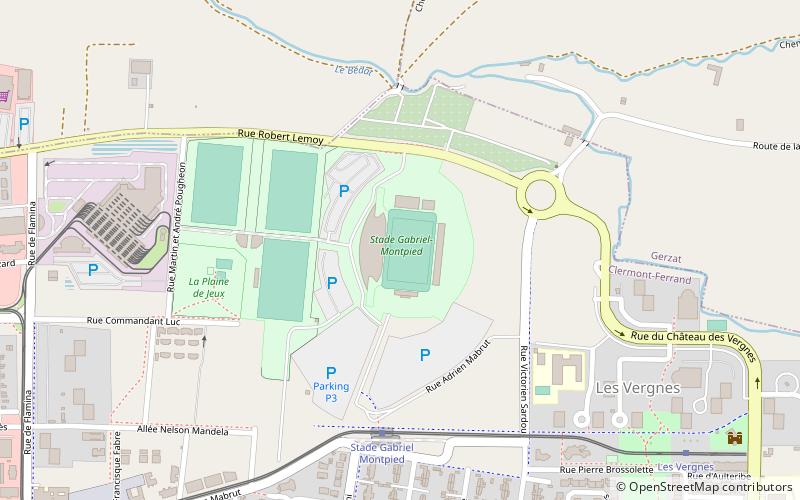
The Stade Gabriel-Montpied is a multi-use stadium in Clermont-Ferrand, France. It is currently used mostly for football matches and is the home stadium of Clermont Foot. ()
Local name: Stade Gabriel-Montpied Opened: 30 December 1995 (30 years ago)Capacity: 12 thous.Coordinates: 45°48'57"N, 3°7'17"E
Address
Rue Robert LemoyChampratel - Les Vergnes (Champratel)Clermont-Ferrand 63100
ContactAdd
Social media
Day trips
Stade Gabriel Montpied – popular in the area (distance from the attraction)
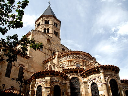
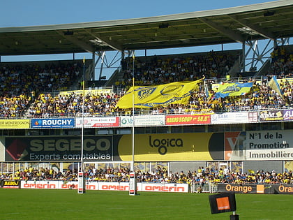
Nearby attractions include: Clermont-Ferrand Cathedral, Basilica of Notre-Dame du Port, Stade Marcel-Michelin, ASM Clermont Auvergne.
Frequently Asked Questions (FAQ)
How to get to Stade Gabriel Montpied by public transport?
The nearest stations to Stade Gabriel Montpied:
Tram
Bus
Tram
- Stade Gabriel Montpied • Lines: A (5 min walk)
- Les Vergnes • Lines: A (10 min walk)
Bus
- La Plaine • Lines: 21, 61 (12 min walk)
- Mercoeur • Lines: 21 (12 min walk)


