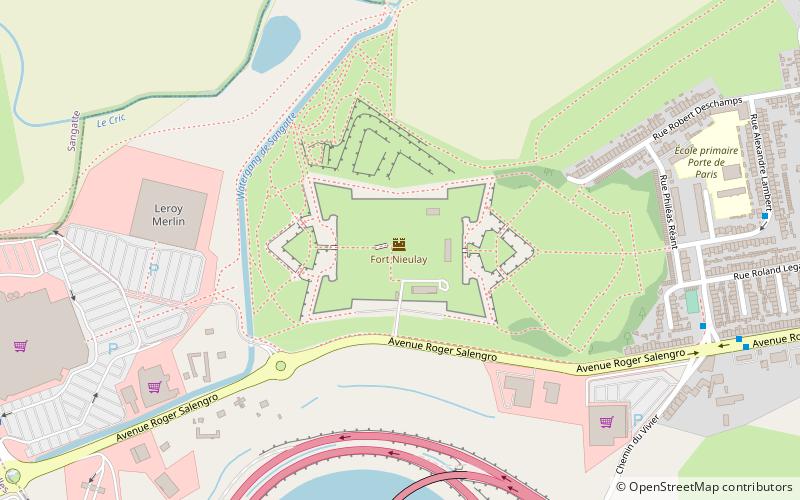
Citadelle and Fort Nieulay, Calais
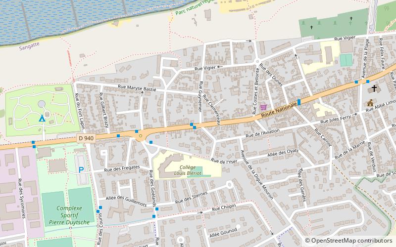
Map
Facts and practical information
Citadelle and Fort Nieulay is a place located in Calais (Hauts-de-France region) and belongs to the category of city wall.
It is situated at an altitude of 10 feet, and its geographical coordinates are 50°56'45"N latitude and 1°49'0"E longitude.
Planning a visit to this place, one can easily and conveniently get there by public transportation. Citadelle and Fort Nieulay is a short distance from the following public transport stations: Porte de Paris (bus, 9 min walk).
Among other places and attractions worth visiting in the area are: Louis Blériot, Marais Audomarois (memorial, 21 min walk), Cité Europe, Coquelles (shopping centre, 23 min walk), Mairie de Coquelles, Coquelles (city hall, 25 min walk).
Coordinates: 50°56'45"N, 1°49'0"E
Address
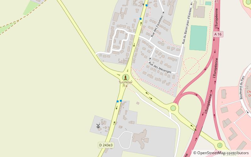
Fort-Nieulay (Tunis)Calais
ContactAdd
Social media
Add
Getting there by public transportation
Public transportation stops near this location
- Bus
 Bus
Bus
- Calculate routePorte de Paris 9 min walk
- Calculate routeAlexandre Lambert 9 min walk
Day trips

Frequently Asked Questions (FAQ)
How to get to Citadelle and Fort Nieulay by public transport?
The nearest stations to Citadelle and Fort Nieulay:
Bus
Bus
- Porte de Paris • Lines: 1, 1A, 1B, 4 (9 min walk)
- Alexandre Lambert • Lines: 4 (9 min walk)