Église Notre-Dame Saint-Louis, Lyon
Map

Gallery

Facts and practical information
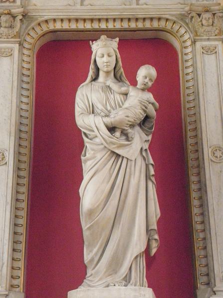
Notre-Dame Saint-Louis is a Catholic church located in the district of Guillotière, in the 7th arrondissement of Lyon, of which it is the oldest parish sanctuary. It is located at the intersection of the rue de la Madeleine and the Grande rue de la Guillotière.
Coordinates: 45°45'3"N, 4°50'54"E
Address
1 Rue de la MadeleineArrondissement 7E (Stalingrad - Lamothe)Lyon 69007
Contact
+33 4 78 58 01 83
Social media
Add
Day trips
Église Notre-Dame Saint-Louis – popular in the area (distance from the attraction)
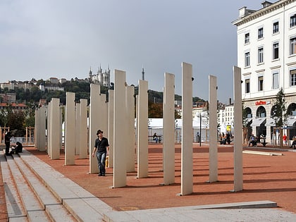
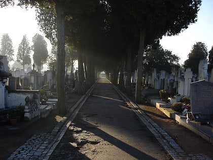
Nearby attractions include: Les Halles de Lyon Paul Bocuse, Place Antonin-Poncet, Berges du Rhône, Lyon Armenian Genocide Memorial.
Frequently Asked Questions (FAQ)
Which popular attractions are close to Église Notre-Dame Saint-Louis?
Nearby attractions include Rue de l'Université, Lyon (8 min walk), Parc Blandan, Lyon (9 min walk), Place Jean-Macé, Lyon (10 min walk), Musée Africain, Lyon (12 min walk).
How to get to Église Notre-Dame Saint-Louis by public transport?
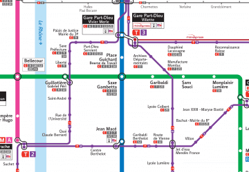
The nearest stations to Église Notre-Dame Saint-Louis:
Trolleybus
Metro
Bus
Tram
Train
Ferry
Trolleybus
- Thibaudière - Jean Jaurès • Lines: C14, C4 (5 min walk)
- Abondance • Lines: C11 (5 min walk)
Metro
- Saxe - Gambetta • Lines: B, D (6 min walk)
- Garibaldi • Lines: D (7 min walk)
Bus
- Saxe - Gambetta • Lines: C12 (7 min walk)
- Garibaldi - Gambetta • Lines: C25, C7 (7 min walk)
Tram
- Saint-André • Lines: T1 (10 min walk)
- Guillotière • Lines: T1 (11 min walk)
Train
- Lyon Jean Macé (13 min walk)
- Lyon Part-Dieu (23 min walk)
Ferry
- Bellecour • Lines: Vaporetto (28 min walk)
- Saint-Paul - Hôtel de Ville • Lines: Vaporetto (38 min walk)

 Metro
Metro


