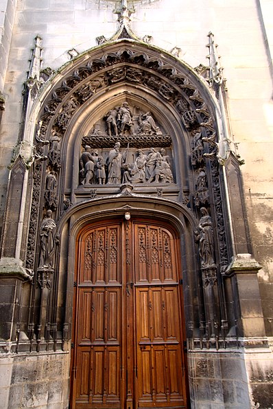
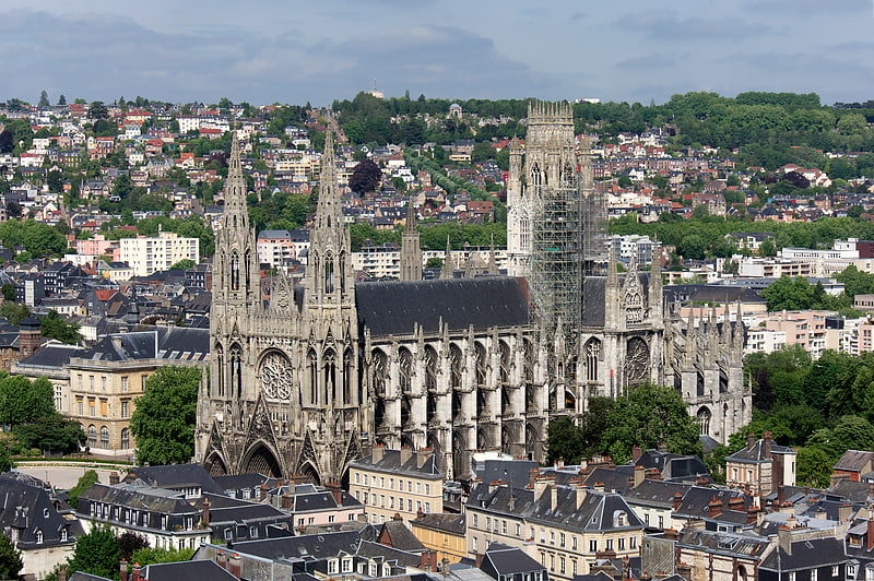
Église Saint-Patrice, Rouen

Gallery (2)
Map
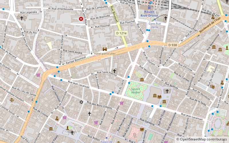
Map
Gallery
Facts and practical information
The Saint-Patrice church is a Catholic church located in Rouen, France.
Coordinates: 49°26'45"N, 1°5'30"E
Address
Centre Rive Droite Ouest (Vieux Marché Saint-Patrice)Rouen
ContactAdd
Social media
Add
Getting there by public transportation
Public transportation stops near this location
- Bus
- Tram
- Train
 Bus
Bus
- Calculate routeSquare Verdrel 2 min walk
- Calculate routeGare-Rue Verte 5 min walk
- Calculate routeBeaux Arts 5 min walk
- Calculate routeCauchoise 5 min walk
- Calculate routeGare Rue Verte 6 min walk
- Calculate routePalais de Justice 6 min walk
- Calculate routeThéâtre des Arts 11 min walk
- Calculate routeBeauvoisine 12 min walk
- Calculate routeRouen Rive-Droite 7 min walk
Day trips


Frequently Asked Questions (FAQ)
Which popular attractions are close to Église Saint-Patrice?
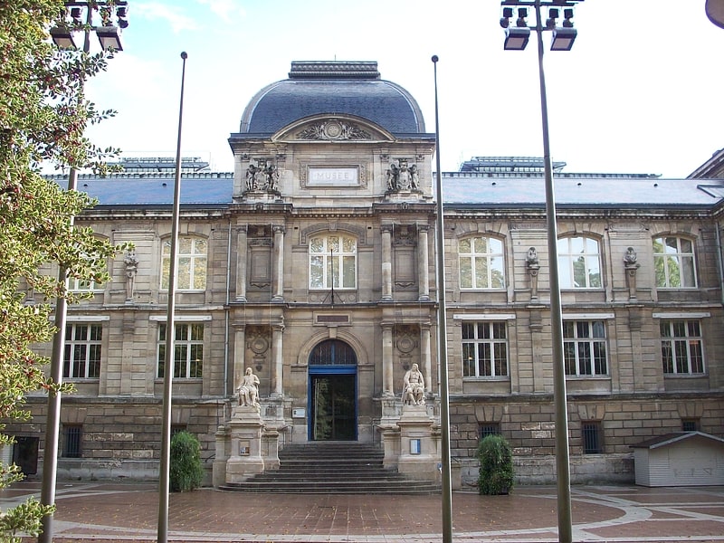
Nearby attractions include Ceramic Museum, Rouen (3 min walk), Rouen Castle, Rouen (4 min walk), Museum of Fine Arts, Rouen (5 min walk), Ancienne église Sainte-Croix-des-Pelletiers, Rouen (5 min walk).
How to get to Église Saint-Patrice by public transport?
The nearest stations to Église Saint-Patrice:
Bus
Tram
Train
Bus
- Square Verdrel • Lines: 11, 5, 8, F2 (2 min walk)
- Gare-Rue Verte • Lines: 11, 8, F2, T4 (5 min walk)
Tram
- Gare Rue Verte • Lines: M (6 min walk)
- Palais de Justice • Lines: M (6 min walk)
Train
- Rouen Rive-Droite (7 min walk)