Mairie de Bréviandes, Bréviandes

Gallery (1)
Map
Map
Facts and practical information
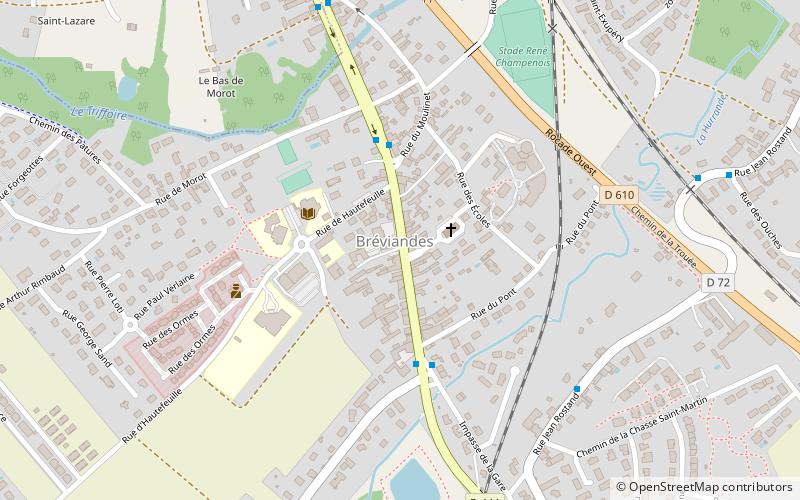
Mairie de Bréviandes is a place located in Bréviandes (Grand Est region) and belongs to the category of city hall.
It is situated at an altitude of 377 feet, and its geographical coordinates are 48°15'23"N latitude and 4°5'44"E longitude.
Among other places and attractions worth visiting in the area are: War Memorial (memorial, 12 min walk), Château de Rosières-près-Troyes (forts and castles, 21 min walk), Église Saint-Julien-de-Brioude, Saint-Julien-les-Villas (church, 30 min walk).
Coordinates: 48°15'23"N, 4°5'44"E
Address
Bréviandes
ContactAdd
Social media
Add
Day trips


