Saint-Clément Aqueduct, Montpellier
Map

Map

Facts and practical information
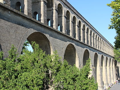
The Saint-Clément aqueduct is an aqueduct located on the communes of Saint-Clément-de-Rivière, Montferrier-sur-Lez and Montpellier in the French department of Hérault in the Occitanie region.
Address
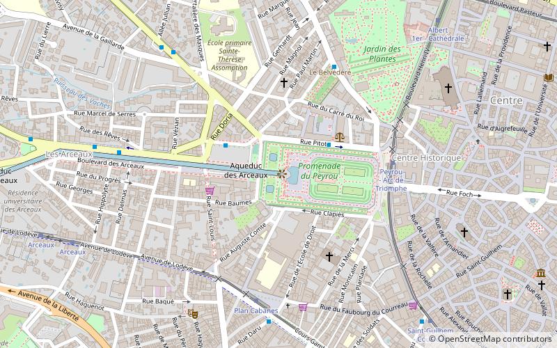
Centre Historique (Peyrou)Montpellier
ContactAdd
Social media
Add
Day trips
Saint-Clément Aqueduct – popular in the area (distance from the attraction)
Nearby attractions include: Antigone, Citadel of Montpellier, Porte du Peyrou, Montpellier Cathedral.
Frequently Asked Questions (FAQ)
Which popular attractions are close to Saint-Clément Aqueduct?
Nearby attractions include Church of St. Eulalia, Montpellier (4 min walk), Porte du Peyrou, Montpellier (5 min walk), Jardin des Plantes, Montpellier (7 min walk), Montpellier Cathedral, Montpellier (8 min walk).
How to get to Saint-Clément Aqueduct by public transport?
The nearest stations to Saint-Clément Aqueduct:
Bus
Tram
Train
Bus
- Paladilhe • Lines: 10 (3 min walk)
- Peyrou - Arc de Triomphe • Lines: 6, 7 (5 min walk)
Tram
- Peyrou - Arc de Triomphe • Lines: 4A, 4B (5 min walk)
- Plan Cabanes • Lines: 3 (6 min walk)
Train
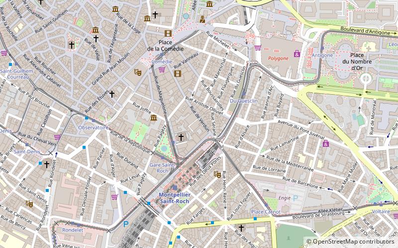
- Montpellier Saint-Roch (20 min walk)


