Col de Ceyssat, Clermont-Ferrand
Map
Map

Facts and practical information
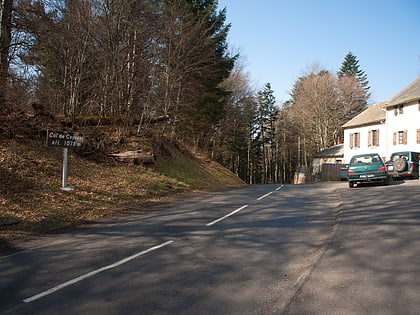
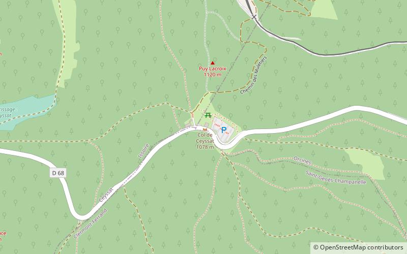
The Ceyssat pass is a pass located in France in the Massif Central, south of the puy de Dôme, at the altitude of 1,077 m. It connects the Limagne at the level of Clermont-Ferrand, in the east, and the high valley of the Sioule, in the west, between the puy de Dôme, in the north, and the puy des Grosmanaux, in the south. It is borrowed by the RD 68. Two cafés-restaurants welcome tourists at the pass. The path of the Muleteers which goes up to the puy de Dôme starts from the pass of Ceyssat.
Coordinates: 45°45'50"N, 2°57'21"E
Address
Clermont-Ferrand
ContactAdd
Social media
Add
Day trips
Col de Ceyssat – popular in the area (distance from the attraction)
Nearby attractions include: Vulcania, Temple de Mercure, Puy de Dôme, Puy Pariou.
Frequently Asked Questions (FAQ)
Which popular attractions are close to Col de Ceyssat?
Nearby attractions include Temple de Mercure, Orcines (18 min walk), Puy de Dôme, Orcines (19 min walk).
How to get to Col de Ceyssat by public transport?
The nearest stations to Col de Ceyssat:
Train
Train
- Panoramique des Dômes - Station Haute (15 min walk)
