Pointe de l'Échelle

Gallery (1)
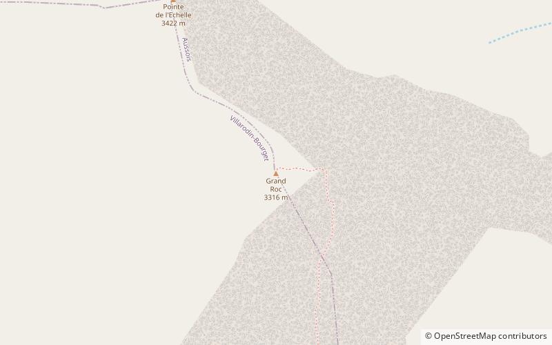
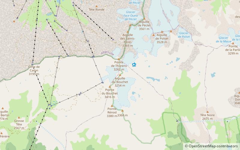
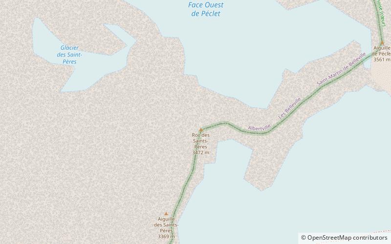
Map
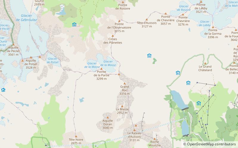
Map
Facts and practical information
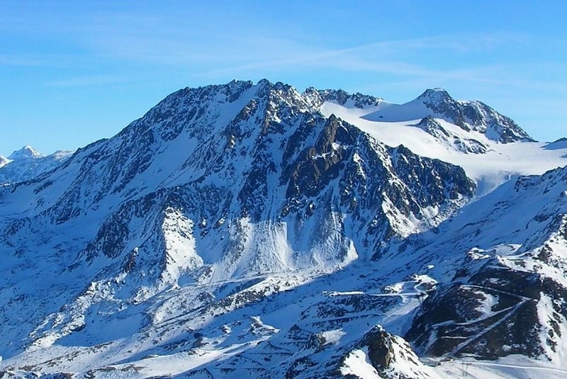
The Pointe de l'Échelle is a mountain in the Vanoise Massif in Savoie, France. ()
Location
Auvergne-Rhône-Alpes
ContactAdd
Social media
Add
Day trips
The Pointe de l'Échelle is a mountain in the Vanoise Massif in Savoie, France. ()
Auvergne-Rhône-Alpes
Where to next? Visit ![]() Auvergne-Rhône-Alpes region page or discover the top tourist attractions in France.
Auvergne-Rhône-Alpes region page or discover the top tourist attractions in France.