Rue Rambuteau, Paris
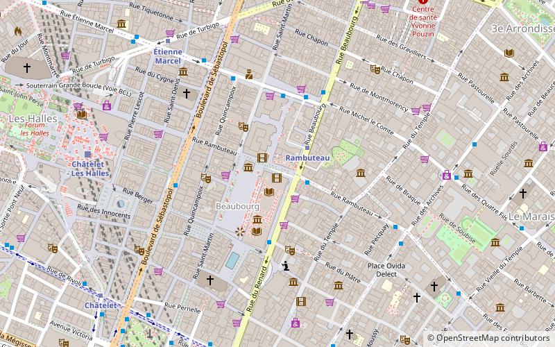
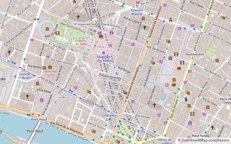
Map
Facts and practical information
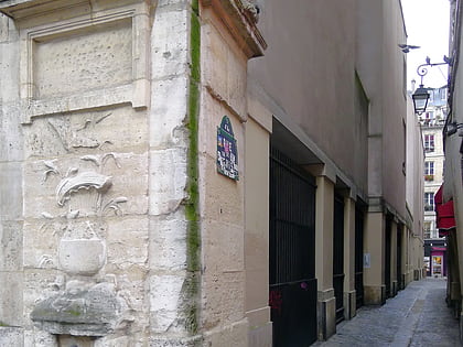
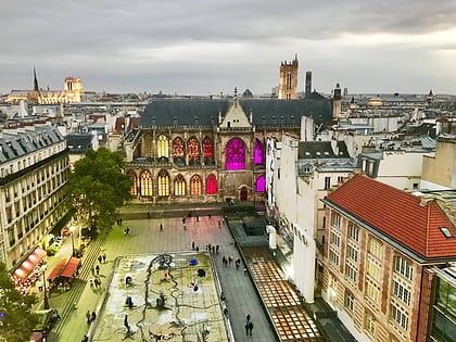
The Rue Rambuteau is a street in Paris, France, named after the Count de Rambuteau who started the widening of the road prior to Haussmann's renovation of Paris. The philosopher Henri Lefebvre lived on the street and observed from his window the rhythms of everyday life at the intersection located behind the Centre Georges Pompidou. ()
Address
Hôtel-de-Ville (Saint-Merri)Paris
ContactAdd
Social media
Add
Day trips
Rue Rambuteau – popular in the area (distance from the attraction)
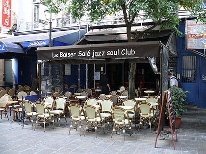
Nearby attractions include: Musée National d'Art Moderne, Le Baiser Salé, Centre Georges Pompidou, Musée d'Art et d'Histoire du Judaïsme.
Frequently Asked Questions (FAQ)
Which popular attractions are close to Rue Rambuteau?
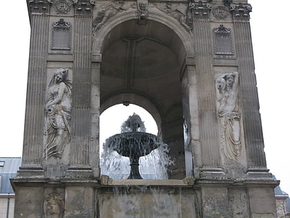
Nearby attractions include Musée de la Poupée, Paris (2 min walk), Musée National d'Art Moderne, Paris (2 min walk), Fontaine Maubuée, Paris (2 min walk), Bibliothèque Kandinsky, Paris (3 min walk).
How to get to Rue Rambuteau by public transport?
The nearest stations to Rue Rambuteau:
Metro
Bus
Train
Ferry
Metro
- Rambuteau • Lines: 11 (2 min walk)
- Étienne Marcel • Lines: 4 (7 min walk)
Bus
- Centre Georges Pompidou • Lines: 29, 38, 75, N12, N13, N14, N23 (2 min walk)
- Grenier Saint-Lazare - Quartier de l'Horloge • Lines: 29, 38, 75, N12, N13, N14, N23 (3 min walk)
Train
- Châtelet - Les Halles (7 min walk)
- Saint-Michel Notre-Dame (17 min walk)
Ferry
- Hôtel-de-Ville • Lines: Batobus (12 min walk)
- Notre-Dame • Lines: Batobus (17 min walk)
 Metro
Metro
