Rue de la Pompe, Paris
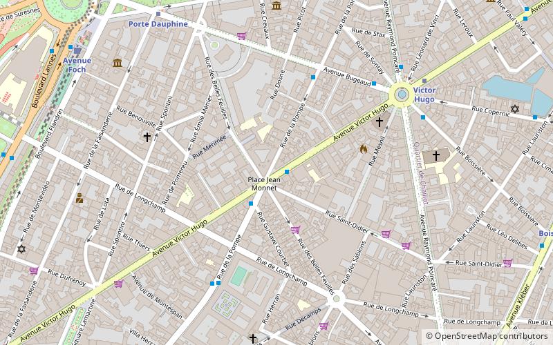
Map
Facts and practical information
Rue de la Pompe is a street in Paris, France, which was named after the pump which served water to the castle of Muette. With a length of 1690 metres, Rue de la Pompe is one of the longest streets in the 16th arrondissement. It runs from Avenue Paul Doumer to Avenue Foch. ()
Address
Passy (Port Dauphine)Paris
ContactAdd
Social media
Add
Day trips
Rue de la Pompe – popular in the area (distance from the attraction)
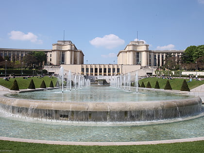
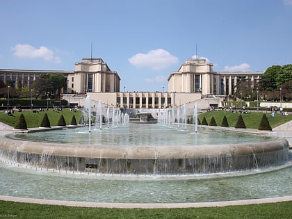
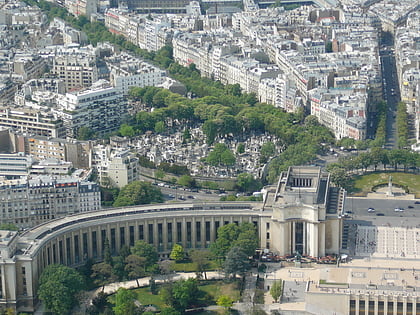
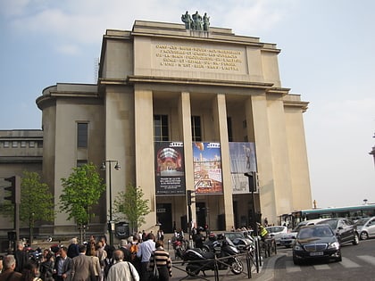
Nearby attractions include: Jardins du Trocadéro, Musée Guimet, American Center for Art and Culture, Palais de Chaillot.
Frequently Asked Questions (FAQ)
Which popular attractions are close to Rue de la Pompe?
Nearby attractions include Musée d'Ennery, Paris (7 min walk), Avenue Victor-Hugo, Paris (7 min walk), Musée Arménien de France, Paris (7 min walk), Musée de la Contrefaçon, Paris (7 min walk).
How to get to Rue de la Pompe by public transport?
The nearest stations to Rue de la Pompe:
Bus
Metro
Train
Ferry
Bus
- Place Jean Monnet • Lines: 52 (1 min walk)
- Bugeaud • Lines: 52 (4 min walk)
Metro
- Victor Hugo • Lines: 2 (7 min walk)
- Porte Dauphine • Lines: 2 (8 min walk)
Train
- Avenue Foch (9 min walk)
- Avenue Henri Martin (13 min walk)
Ferry
- Tour-Eiffel • Lines: Batobus (20 min walk)
 Metro
Metro


