Trek Zone

Sainte-Agathe, Thiers

#4 among attractions in Thiers

Area
Sainte-Agathe location map
Map

Facts and practical information
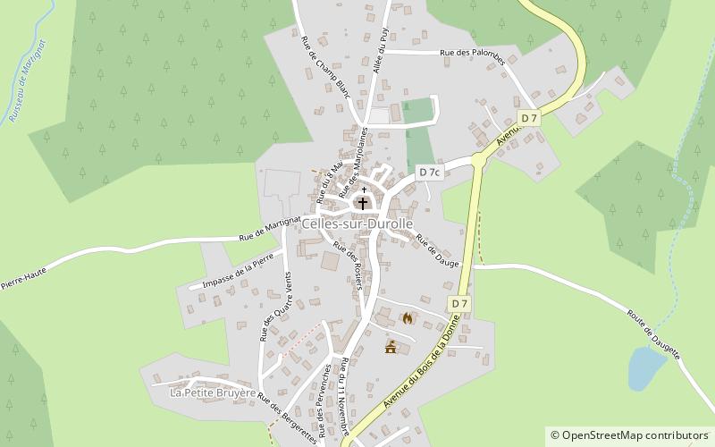
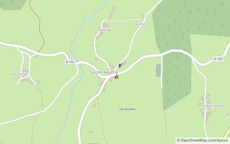
Alternative names: Area: 7.07 mi²Coordinates: 45°49'19"N, 3°36'47"E
Address

Thiers France

ContactAdd
Social media
Add
Day trips

Sainte-Agathe – popular in the area (distance from the attraction)

Nearby attractions include: Cutlery Museum, La Vallée des Rouets, Château d'Aulteribe, Celles-sur-Durolle.

  • cutlery museum thiers3.8 miNW
  • la vallee des rouets thiers3.2 miNW
  • chateau daulteribe sermentizon6.4 miSW
  • celles sur durolle saint remy sur durolle location map
    2.7 miNE
  • escoutoux thiers location map
    2.4 miW
  • eglise saint genes thiers3.8 miNW
  • maison de laventure industrielle thiers3.6 miNW
  • hotel de ville de thiers3.9 miNW
  • st martins church courpiere5.9 miSW
  • st johns church thiers3.7 miNW
  • war memorial courpiere5.9 miSW

Where to next? Visit auvergne rhone alpes Auvergne-Rhône-Alpes region page or discover the top tourist attractions in France.