Boulevard Mortier, Paris
Map

Gallery
Facts and practical information
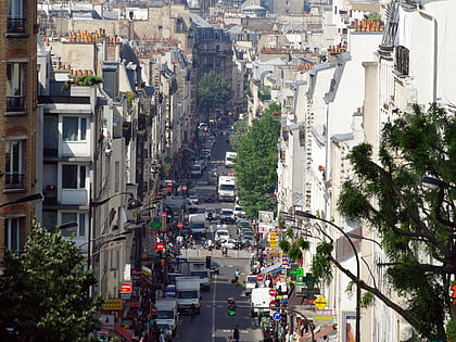
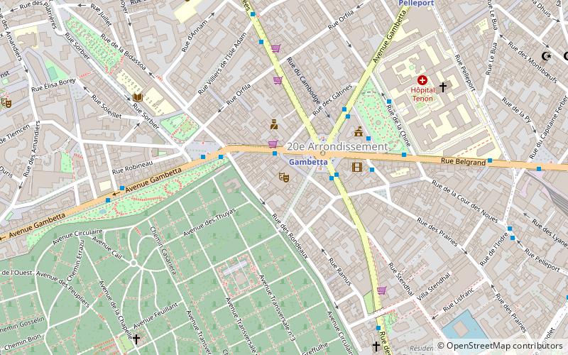
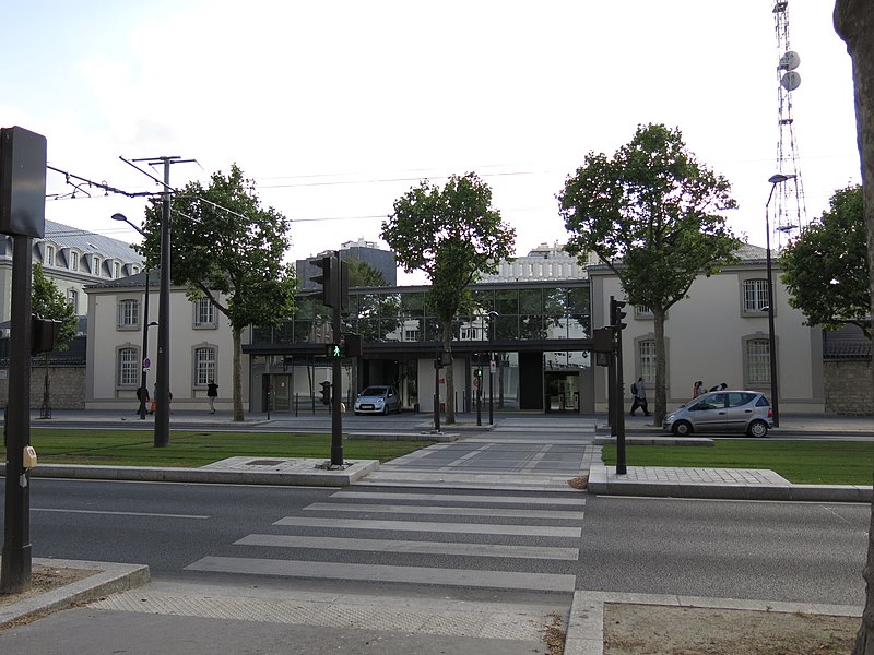
The Boulevard Mortier is a boulevard in the 20th arrondissement of Paris, France. It is one of the Boulevards of the Marshals, which circle the outer parts of the city. ()
Address
Ménilmontant (Saint-Fargeau)Paris
ContactAdd
Social media
Add
Day trips
Boulevard Mortier – popular in the area (distance from the attraction)
Nearby attractions include: Cimetière du Père-Lachaise, Parc des Buttes Chaumont, Parc de Belleville, Notre-Dame-de-la-Croix de Ménilmontant.
Frequently Asked Questions (FAQ)
Which popular attractions are close to Boulevard Mortier?
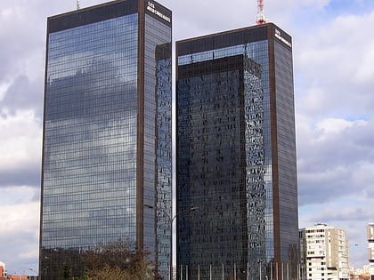
Nearby attractions include Les Mercuriales, Montreuil (11 min walk), Bagnolet, Paris (14 min walk), 20th arrondissement of Paris, Paris (16 min walk), Les Lilas, Paris (17 min walk).
How to get to Boulevard Mortier by public transport?
The nearest stations to Boulevard Mortier:
Tram
Bus
Metro
Tram
- Adrienne Bolland • Lines: T3b (2 min walk)
- Séverine • Lines: T3b (7 min walk)
Bus
- Menilmontant - Mortier • Lines: 61 (2 min walk)
- Adrienne Bolland • Lines: 61 (3 min walk)
Metro
- Saint-Fargeau • Lines: 3bis (5 min walk)
- Porte des Lilas • Lines: 11, 3bis (10 min walk)

 Metro
Metro
